
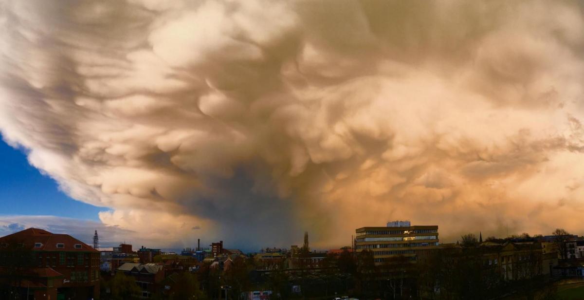
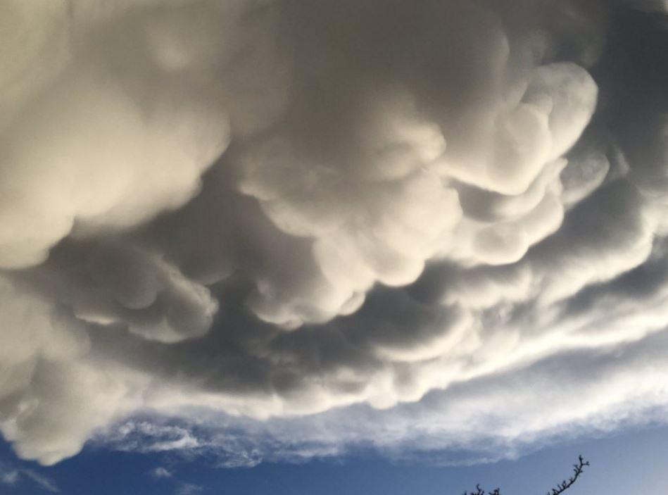
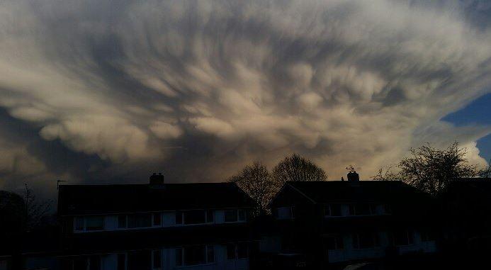
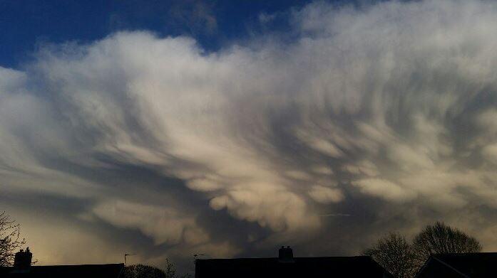
THESE spectacular clouds were seen over York last night.
The distinctive Mammatus clouds are believed to have been caused by turbulence in the cloud base due to a change of weather.
The Met Office says Mammatus clouds are among the more unusual and distinctive formations, and says they usually form with large cumulonimbus clouds, particular when they are forming large thunderstorms.
This main image was taken by Kieran Delaney, who ran up to the top of Clifford's Tower to take the picture.
Nationally Storm Katie has seen gusts of up to 105mph battering England and Wales, with several flights diverted from airports and major bridges shut.
In York, the rain is expected to have petered out by this afternoon with wind speeds dropping as the day goes on.
North Yorkshire Police has urged people not to drive into flood water.


Comments: Our rules
We want our comments to be a lively and valuable part of our community - a place where readers can debate and engage with the most important local issues. The ability to comment on our stories is a privilege, not a right, however, and that privilege may be withdrawn if it is abused or misused.
Please report any comments that break our rules.
Read the rules hereLast Updated:
Report this comment Cancel