
George Wilkinson enjoys a fine winter’s walk from Castleton.
Castleton has an out of town car park, on the road to Westerdale, up on the moor. Here a giant white campervan was, with curtains drawn, asleep on the patch of gravel.
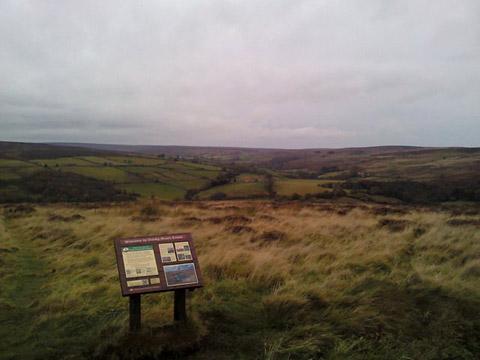
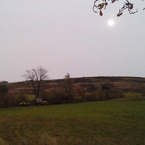
We fastened up our coats, read ‘Welcome to Danby Moor Estate’ and looked down the curve of Commondale, as far as halfway down today’s valley.
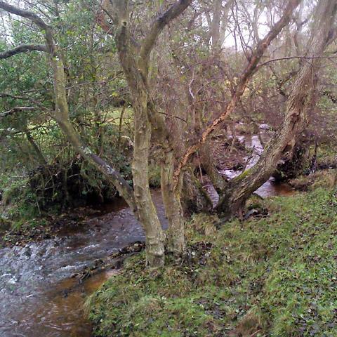
In the wet scattering of farms and woods there is footbridge across the River Esk, just before it joins Commondale Beck. Thereafter we paralleled this beck, a substantial stream, walking quite high on the west side of the valley.
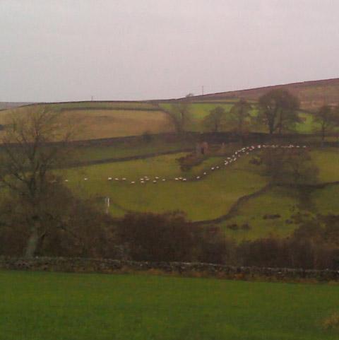
Three farms punctuate the outward route. The first is a mix of holiday cottages and pasture, on which grazed tough black-belted cattle. The second is fairly neat, the third is falling into ruin and abandoned but for a muckheap.
A two-carriage diesel train of the Esk Valley Railway slipped through below. Two delta wing, twin-tailed, jet fighters, probably McDonnell Douglas F-15s, thundered over.
But Commondale was not always a grassy delight for the walker, with its stone waymarks, stone bench, a seat carved from a stump and, somewhere, a hide for birdwatchers in a ‘secluded old quarry’.
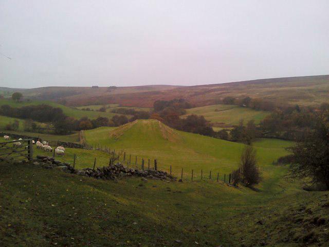
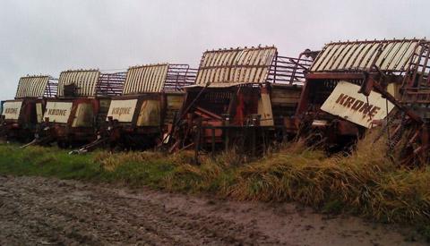
The valley has an industrial past and this route goes close to 20th-century whinstone quarries. These are overgrown and there is a very strange landscaped shape.
Commondale Beck ran clear among the alder trees and a wader lifted from the rushes. With a ‘stop, look and listen’, we crossed the railway line and promptly headed for Commondale railway station on account of the all-day drizzle thickening to afternoon rain. The blue and white shelter has a bench, useful for a sandwich stop, but the open fire is boarded up. Train times to Middlesbrough and Whitby are posted.
We could, with concocted timing, have cheated and taken a ride back to Castleton but then we would have missed a good simple stretch of winter walking and a sequence of nice meetings with a party out from Marske who were strung along the track; topics included the cheer of walking in the rain and the chances of a muddy winter.
On approach, Castleton makes for a good higgledy-piggledy rooftop skyline. Along its single main street are a gallery, tea rooms, the ladies and the gents, the Downe Arms, a Wesleyan Chapel, a school, a garage and even a bank; all on a Tarmac ridge and a steady incline.
Directions
When in doubt look at the map. Check your position at each point. Keep straight on unless otherwise directed.
1. From car park left to road verge, 300 yards, left ten yards, left at grass island then sharp left to road and steep downhill 400 yards, at crossroads sharp right (signed Station) to road downhill, 300 yards.
2. About ten yards before track on left near trees, path on left (sign) by fence, two step ditches, stile into field, downhill by fence on left, stile (waymark) in corner, by fence for 50 yards, stile (waymark) and path left across field.
3. Footbridge (waymark), 50 yards, stile (waymark), by fence for 50 yards then fieldgate on left (waymark) and right uphill, pass seat, fieldgate, uphill, snickelgate and straight through yard on good gravel track.
4. On left-hand bend of drive, right across grass via waymarked stone to path in trees, 50 yards, stile/ fieldgate (waymark) into field and immediately left uphill by wall, 100 yards,
5. Fieldgate (waymark) grass track uphill to isolated standing stone (waymark on stone) then diagonally downhill to stile/fieldgate by wood corner (waymark). Contour straight on, stile/fieldgate (fingerpost), left-hand corner, 25 yards, right, 25 yards, fieldgate (waymark), fieldgate (waymark), 11 o’clock across field and left to track, becomes walled.
6. Through farm, fieldgate out (waymark), fieldgate (waymark).
7. Ladderstile on right (waymark/fingerpost) and diagonally across yard in front of ruined farm to fieldgate (waymark) by barn, 50 yards, fieldgate (waymark), downhill by wall to right, ladderstile, find path on your right by holly which turns diagonally left downhill.
8. Footbridge, uphill, stile (waymark), cross railway line with care, stile and left, gate (waymark), cross field to fieldgate (waymark) left, fieldgate near White Cottage.
9. From White Cottage, either straight on to Commondale or right on track uphill, fieldgate, stay on track, cattlegrid/fieldgate.
10. Right to road downhill (some verge), under railway line, over river, pavement, right to Castleton’s main street and return to car park.
Fact file
Distance: Five miles.
General location: North York Moors.
Start: Just outside Castleton.
Right of Way: Public.
Dogs: Legal.
Date walked: November 2012.
Road route: From York via Hutton-le-Hole.
Car parking: Free gravel car park on Westerdale Road, information board, NZ681076.
Lavatories: Castleton.
Refreshments: Inn at Commondale, inns and café at Castleton.
Tourist & Public Transport Information: Moors Centre Danby 01439 772737.
Map: Drawn from OS Explorer OL26 North York Moors western area.
Terrain: Valley.
Difficulty: Moderate.
Please observe the Country Code and park sensibly. While every effort is made to provide accurate information, walkers set out at their own risk.


Comments: Our rules
We want our comments to be a lively and valuable part of our community - a place where readers can debate and engage with the most important local issues. The ability to comment on our stories is a privilege, not a right, however, and that privilege may be withdrawn if it is abused or misused.
Please report any comments that break our rules.
Read the rules hereComments are closed on this article