

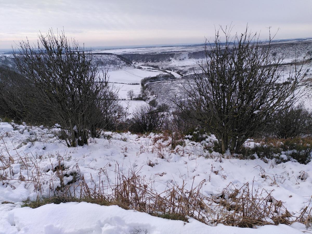
Further snowfall has the potential to cause disruption in York this weekend, the Met Office has warned.
The weather forecaster has issued a yellow weather warning for snow and ice from 6pm today.
The weather warning will last until 6am on Sunday morning.
The Met Office says: "Further snowfall has the potential to cause disruption Saturday evening into Sunday."
What to expect
Some roads and railways likely to be affected with longer journey times by road, bus and train services
Some injuries from slips and falls on icy surfaces
Probably some icy patches on some untreated roads, pavements and cycle paths
Weekend weather forecast for York
Today:
A cold and frosty start for most, with some icy patches in places. Otherwise, a largely dry and bright day, with sunny spells. Snow showers along windward coasts. Cloud increasing from the west by evening. Remaining cold. Maximum temperature 6 °C.
Tonight:
Rain moving northeastwards will readily turn to sleet and snow during the evening and overnight, especially over higher ground. Snow turning back to rain by dawn. Remaining cold. Minimum temperature 0 °C.
Sunday:
Early rain and sleet clearing northeastwards to leave a drier and brighter day for many. Further rain and strengthening winds arriving from the west later. Milder than of late. Maximum temperature 11 °C.
What to expect
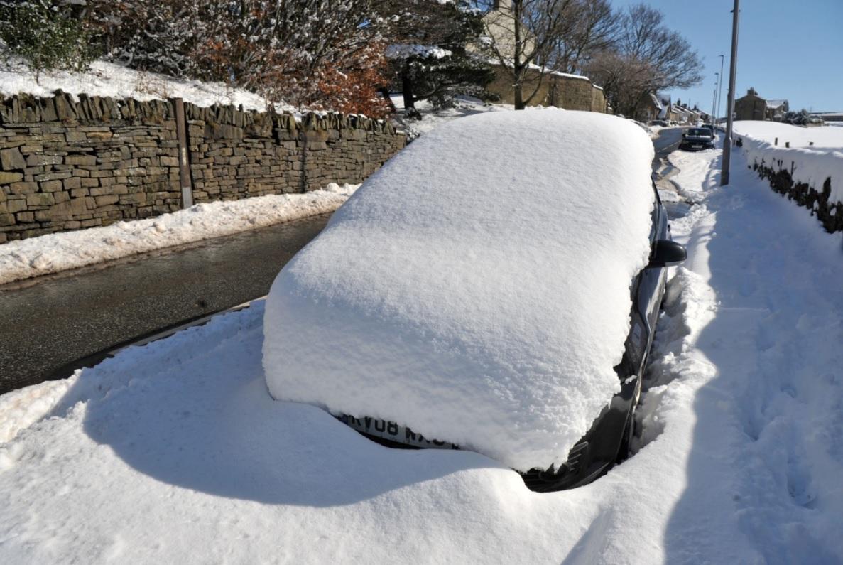
The Met Office's yellow weather warning means there could be possible travel delays on the roads, leaving some vehicles and passengers stranded.
Travel by bus, train and air could be delayed or cancelled while road closures are also possible.
Untreated pavements and cycle paths might become impassable and there may be a risk of injuries from slips and falls on ice.
There is a small chance that power cuts will occur and other services, such as mobile phone coverage, may be affected.
It comes just one day after traffic chaos on the M62 and power cuts at thousands of homes across Yorkshire.
Northern Powergrid said it remains on full alert after experiencing faults above normal levels during Storm Larisa.
Speaking on Friday, a spokesperson for Northern Powergrid said: “The weather front bringing heavy snowfall started to hit the region with fault levels across our region now above business-as-usual levels. If the current forecast holds true, this is expected to continue, so we remain on full alert."
How to report a power cut
If you have been impacted by a power cut, you can use the Northern Powergrid website or find out the latest information relating to a power cut www.northernpowergrid.com/power-cuts
The company's 24/7 social media feeds on Facebook and Twitter (@NorthPowergrid) will also provide updates for customers.
Alternatively, people can speak to Northern Powergrid direct by calling 105.
Customers on the Priority Service Membership, those who are reliant on electricity for medical purposes and may need greater assistance during a power cut, will be kept updated as a priority.
For any customers on the Priority Service Membership who require further support should call 0800 169 2996.


Comments: Our rules
We want our comments to be a lively and valuable part of our community - a place where readers can debate and engage with the most important local issues. The ability to comment on our stories is a privilege, not a right, however, and that privilege may be withdrawn if it is abused or misused.
Please report any comments that break our rules.
Read the rules hereLast Updated:
Report this comment Cancel