


GROUND penetrating radar is to be used to map the Roman city buried beneath York's streets in greater detail than ever before.
Archaeologists will use a van equipped with specialist radar equipment to survey 20km of streets across the city centre, probing deep beneath the surface to reveal the secrets hidden below.
The survey, set to begin this summer, will cover pedestrianised and non-pedestrianised streets alike. A different, hand-propelled radar system will be used to scan parks and public gardens around the Yorkshire Museum and York Minster.
Experts say it will be the biggest such survey ever undertaken in the UK.
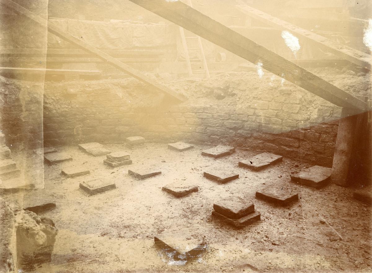
An associated research project will bring together the results of archaeological digs over the last 50 years, as well as other sources of information, including historic press reports of Roman finds, notebooks and published reports from the 18th century onwards.

Taken together, the project - a joint effort between the universities of Cambridge and Reading, York Archaeology and the York Museums Trust - is expected to reveal a huge amount about the ancient Roman city of Eboracum that lies beneath out feet, without a single new trench having to be dug.
Archaeologists and historians already know a fair amount about Roman York.
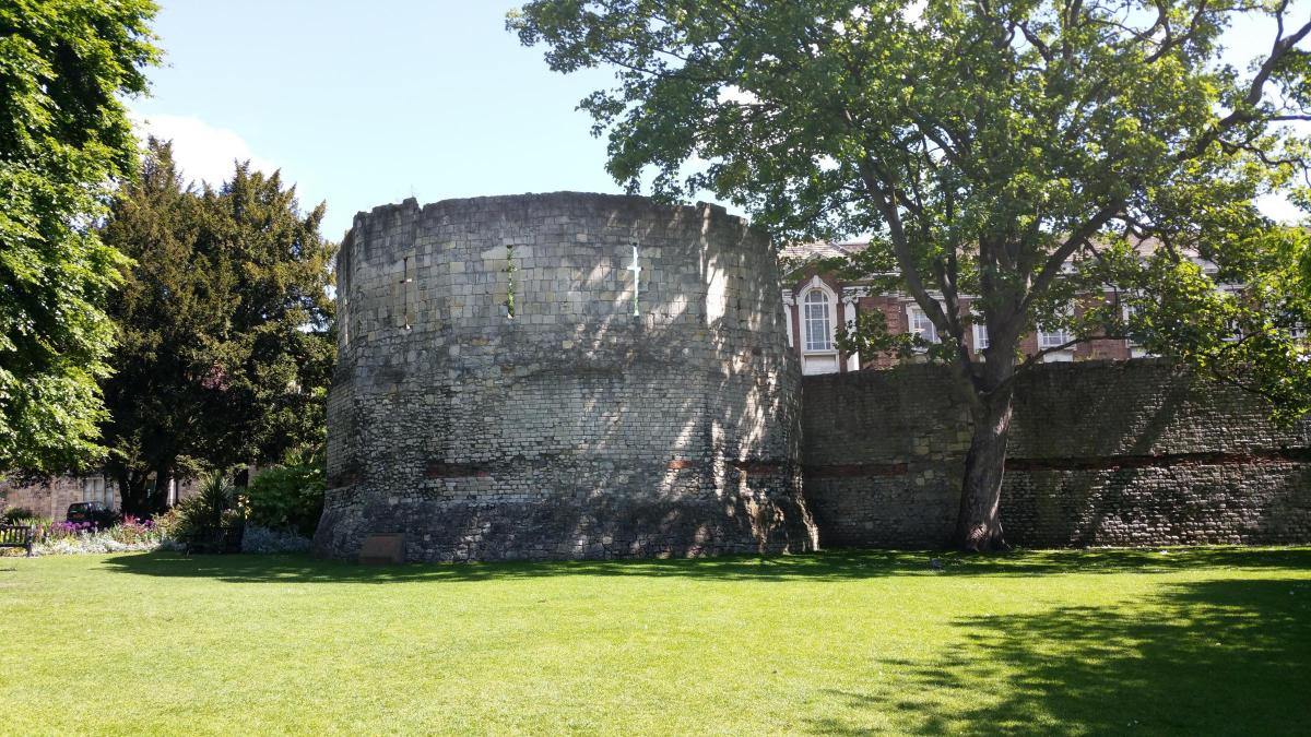
We know roughly where the old Roman fortress once stood - in the area beneath York Minster bounded by Lord Mayor's Walk and the Multangular Tower in Museum Gardens, itself the remains of the Roman fortress's corner tower.
We know, too, that there was a civilian city on the opposite side of the river.
York Archaeological Trust hopes to do an extensive dig there when it creates its new Eboracum Roman museum beneath Rougier Street, provided the associated plans for a 10-storey building to include flats, a hotel and office space above get the go-ahead.
We also know there were Roman cemeteries on the road leading out of the civilian city, roughly along what is now The Mount and Tadcaster Road.
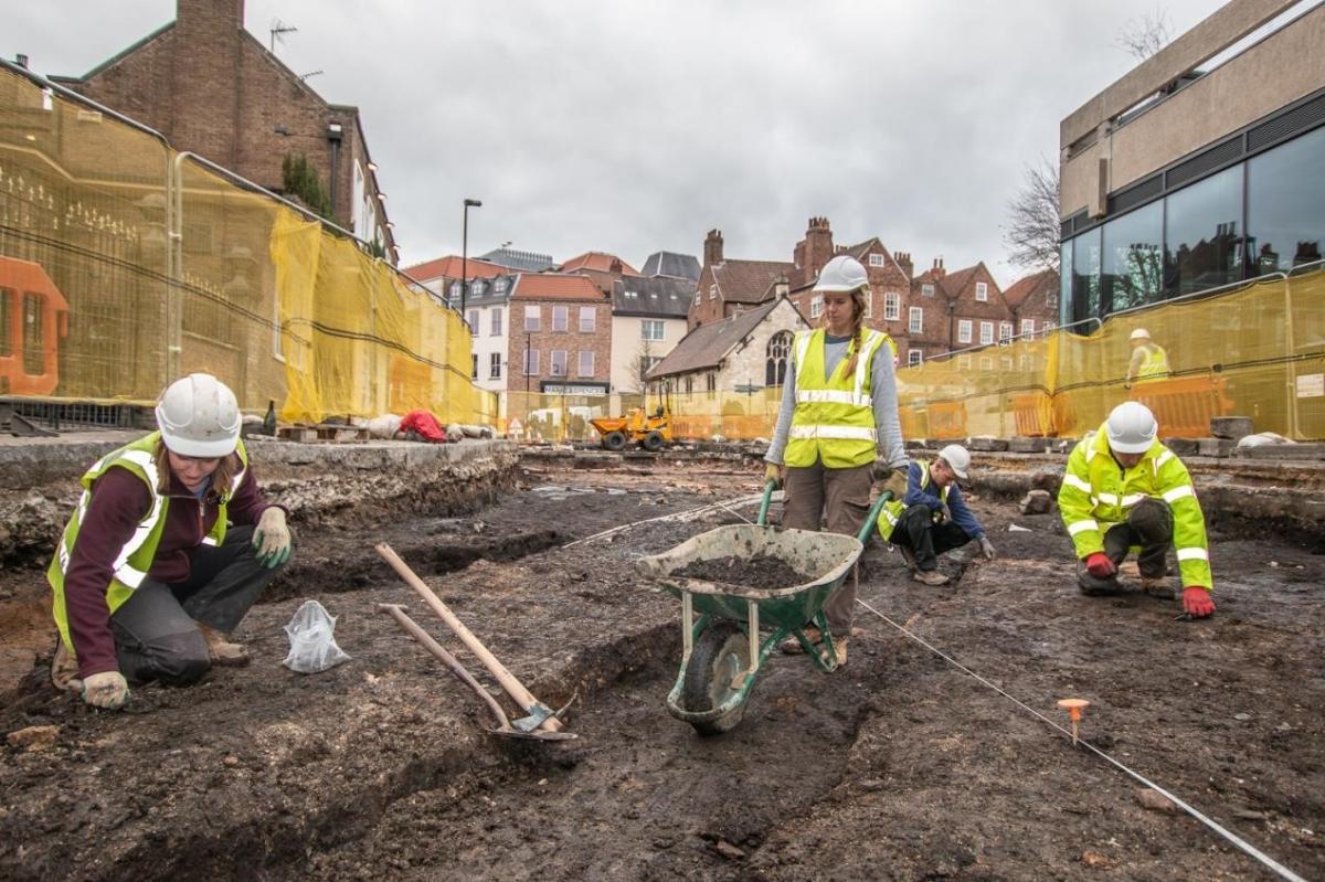
But archaeologists insist all the excavations over the past 50 years and more have barely scratched the surface of what lies beneath.
We still don't know where the city's gladiatorial arena was - if there was one - or where many of the big public Roman buildings, including a possible Imperial palace, may have been.
Dr John Creighton of the University of Reading said: “Over many years, various investigations have opened small windows into different parts of the Roman city, but we hope that this scanning will reveal far more about the city including details where the roads and significant buildings in the city were located, particularly around Micklegate.”

The project's leader, Prof Martin Millett of the University of Cambridge, added: “We hope to learn much more about the layout of the Roman city without having to dig a single trench."
The radar mapping exercise will start later in the summer: experts say dry weather is crucial, as the radar can only penetrate down to the water table, which is high most of the year.


Comments: Our rules
We want our comments to be a lively and valuable part of our community - a place where readers can debate and engage with the most important local issues. The ability to comment on our stories is a privilege, not a right, however, and that privilege may be withdrawn if it is abused or misused.
Please report any comments that break our rules.
Read the rules hereLast Updated:
Report this comment Cancel