

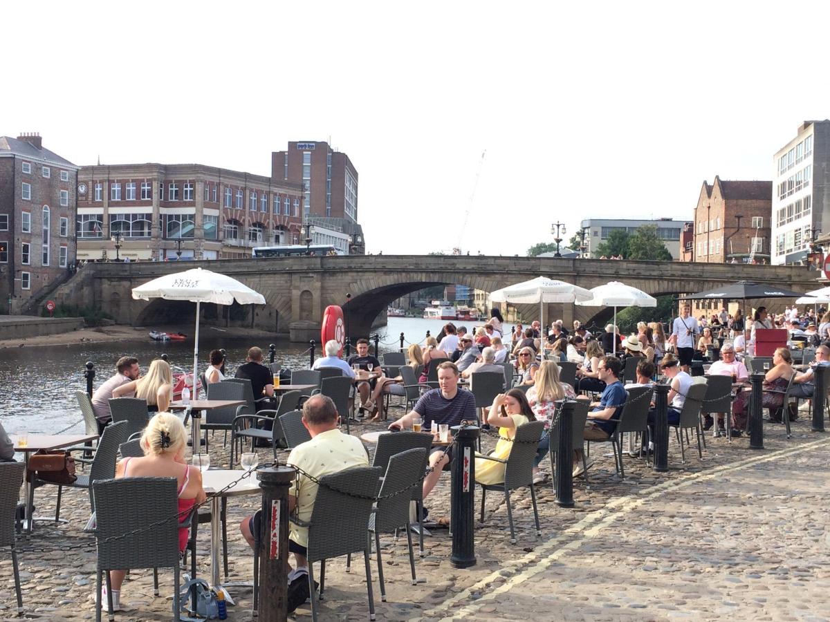

YORK is set to enjoy - or endure - more mini-heatwave weather until Thursday, even though it is not included in the Met Office’s first ever Amber Extreme Heat Warning issued yesterday.
The warning for Wales, south west England and southern England, issued in partnership with health organisations, says temperatures there could reach 33C, with health consequences for the vulnerable and an impact on infrastructure, including transport and energy.
The wider population are likely to experience some adverse health effects including sunburn or heat exhaustion (dehydration, nausea, fatigue) and other heat related illnesses.
Eastern areas such as York will not get that hot, with forecasters expecting maximum temperatures of 28C today, with more long sunny periods, and then a slightly cooler 25C tomorrow and on Thursday, with more spells of sunshine.
Temperatures are then expected to fall further to 22C on Friday and ‘only’ 20C on Saturday, when cloudier weather is expected to develop, and possibly light rain. Sunday could see thunderstorms hitting the region.
The highest temperature of the summer so far was 30C, recorded on Saturday at RAF Linton on Ouse, near Easingwold.
Met Office Chief Operational Meteorologist Steven Ramsdale said: “The high temperatures are going to continue through a large part of this week.
“Many areas will continue to reach heatwave thresholds but the amber extreme heat warning focusses on western areas where the most unusually high temperatures are likely to persist.
“There’s a continuing risk of isolated thundery downpours late in the afternoons but most areas will stay dry until later in the week.
“Temperatures should begin to fall for most areas heading into the weekend, with some more unsettled conditions looking to develop.”


Comments: Our rules
We want our comments to be a lively and valuable part of our community - a place where readers can debate and engage with the most important local issues. The ability to comment on our stories is a privilege, not a right, however, and that privilege may be withdrawn if it is abused or misused.
Please report any comments that break our rules.
Read the rules hereLast Updated:
Report this comment Cancel