

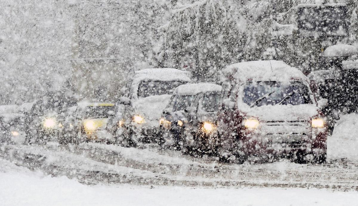
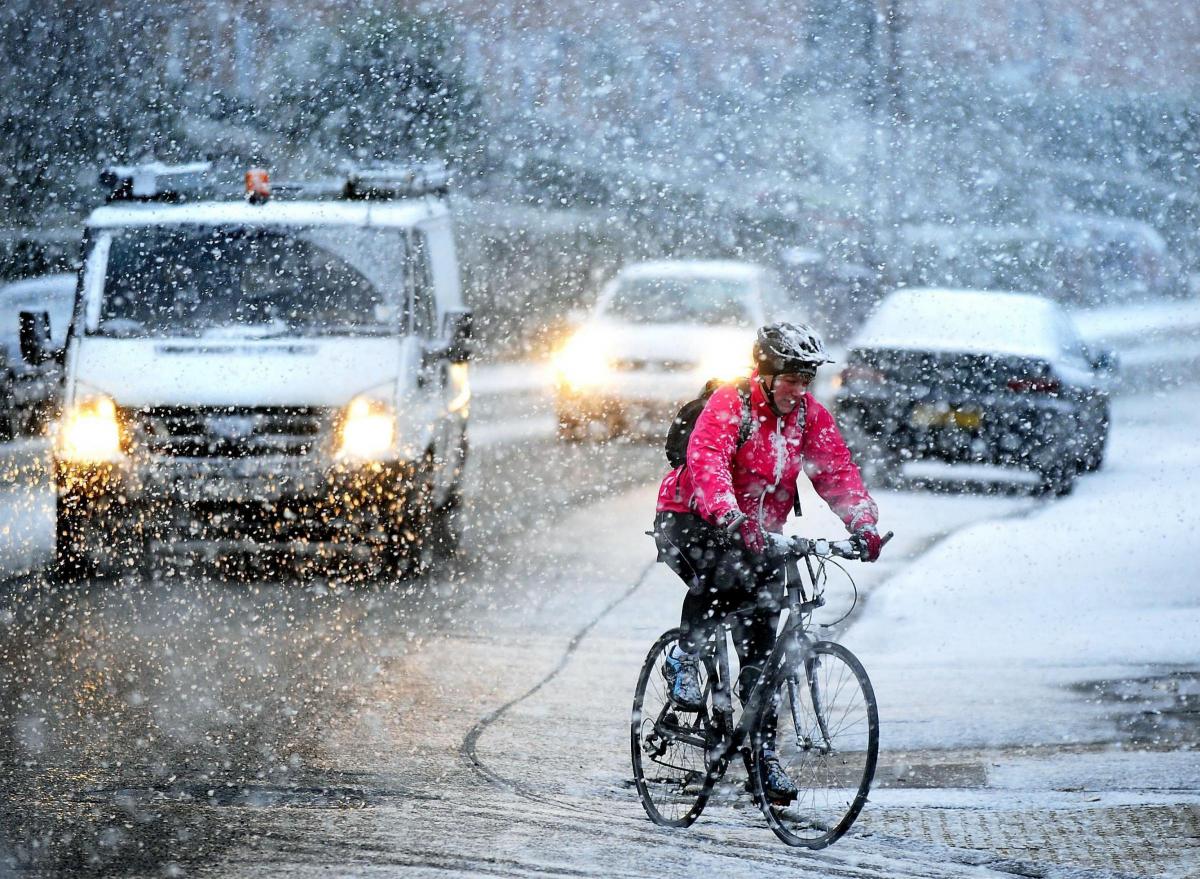
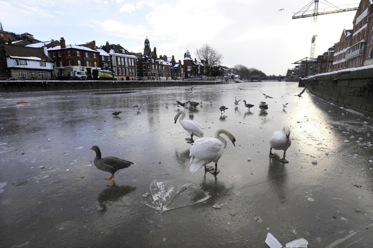
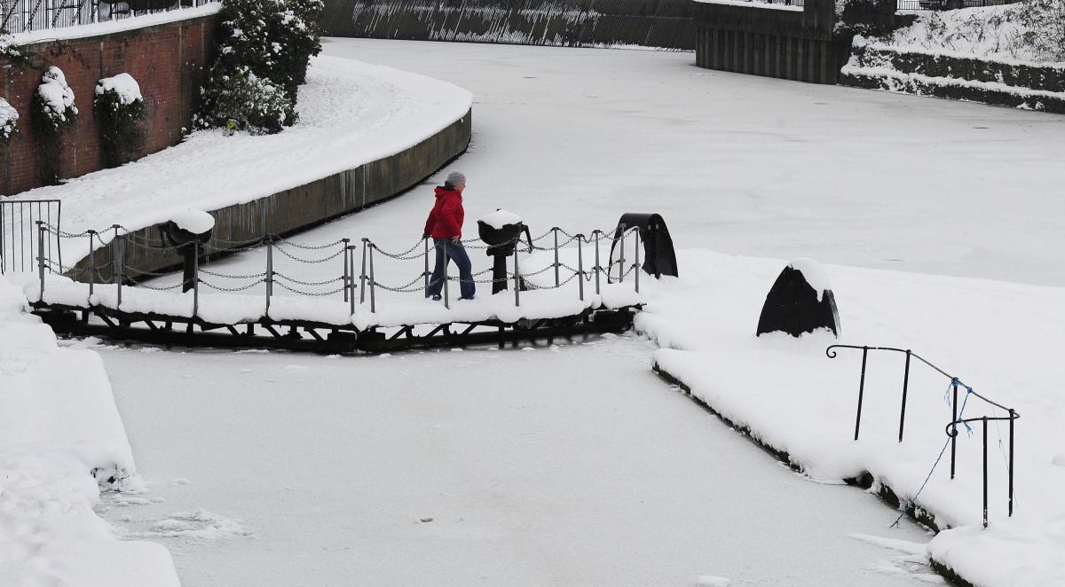
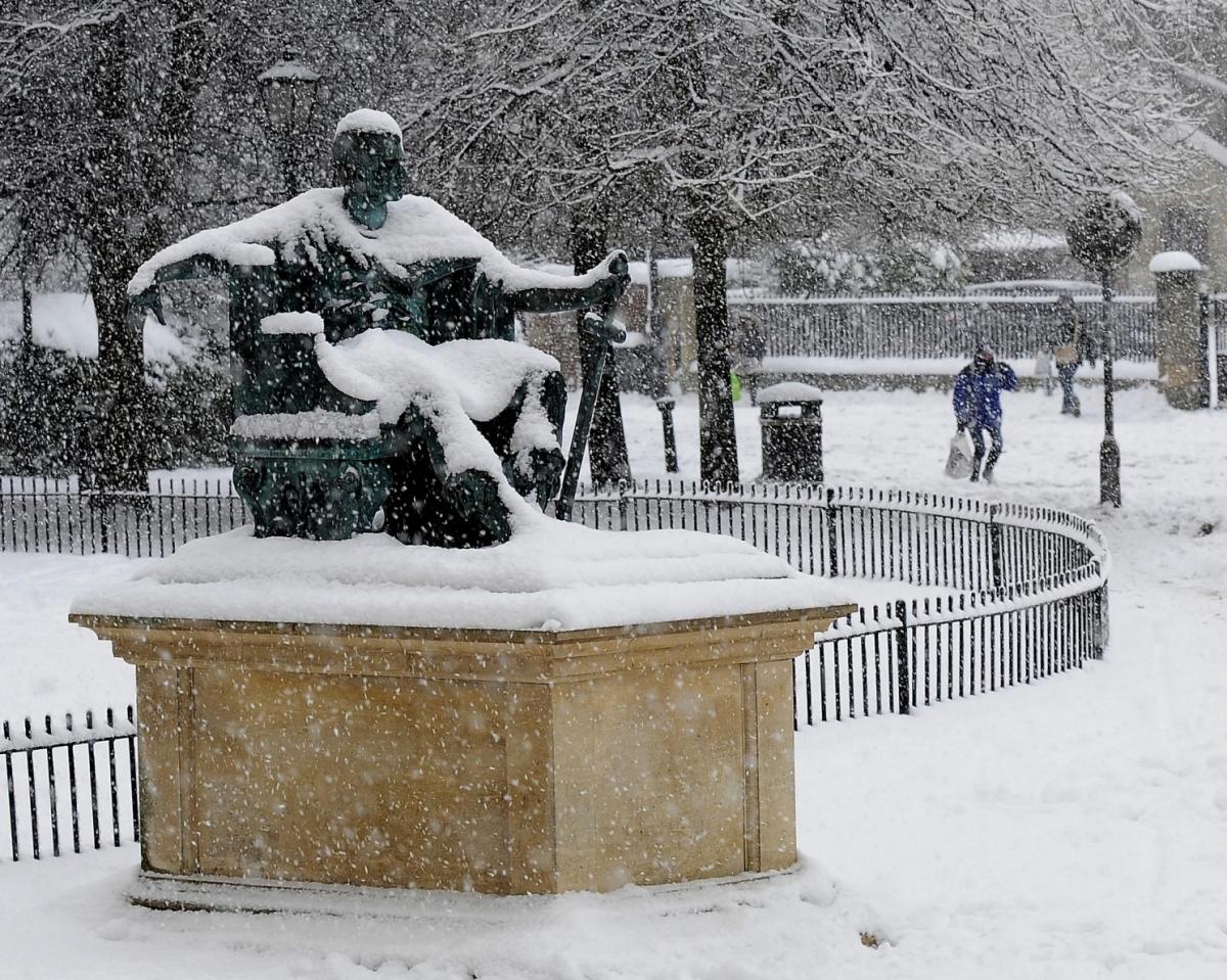
ROADS blocked, rivers frozen, schools closed, burst pipes – it’s ten years since York experienced all of this when the city was blanketed in snow in its coldest wintry blast for decades.
The snow started to fall in late November 2010 and continued on and off through December almost until Christmas, leaving a 20-25 cms blanket lying on the ground, and temperatures plummeted as low as -13C.
But is there any chance of a repeat of December 2010 in December 2020?
Forecasters have given their verdict and it's not - generally - one to please the skiers, sledgers and snowman builders.
BBC Weather in association with MeteoGroup puts it this way: "The prospect of a sustained and very cold weather pattern, with severe frosts and widespread lowland snowfall, as we saw in December 2010, is very unlikely."
It says the latest forecast guidance continues to indicate that winds from a westerly direction will dominate the first half of December, with temperatures close to, or a little above the seasonal average.
HOWEVER, it says there COULD be a couple of short-lived cold snaps, when winds swing into the north for a few days, as happened in December 2017.
It warns: "Sharp frost and scattered sleet and snow showers are likely on a few days, especially over northern areas."


Comments: Our rules
We want our comments to be a lively and valuable part of our community - a place where readers can debate and engage with the most important local issues. The ability to comment on our stories is a privilege, not a right, however, and that privilege may be withdrawn if it is abused or misused.
Please report any comments that break our rules.
Read the rules hereLast Updated:
Report this comment Cancel