
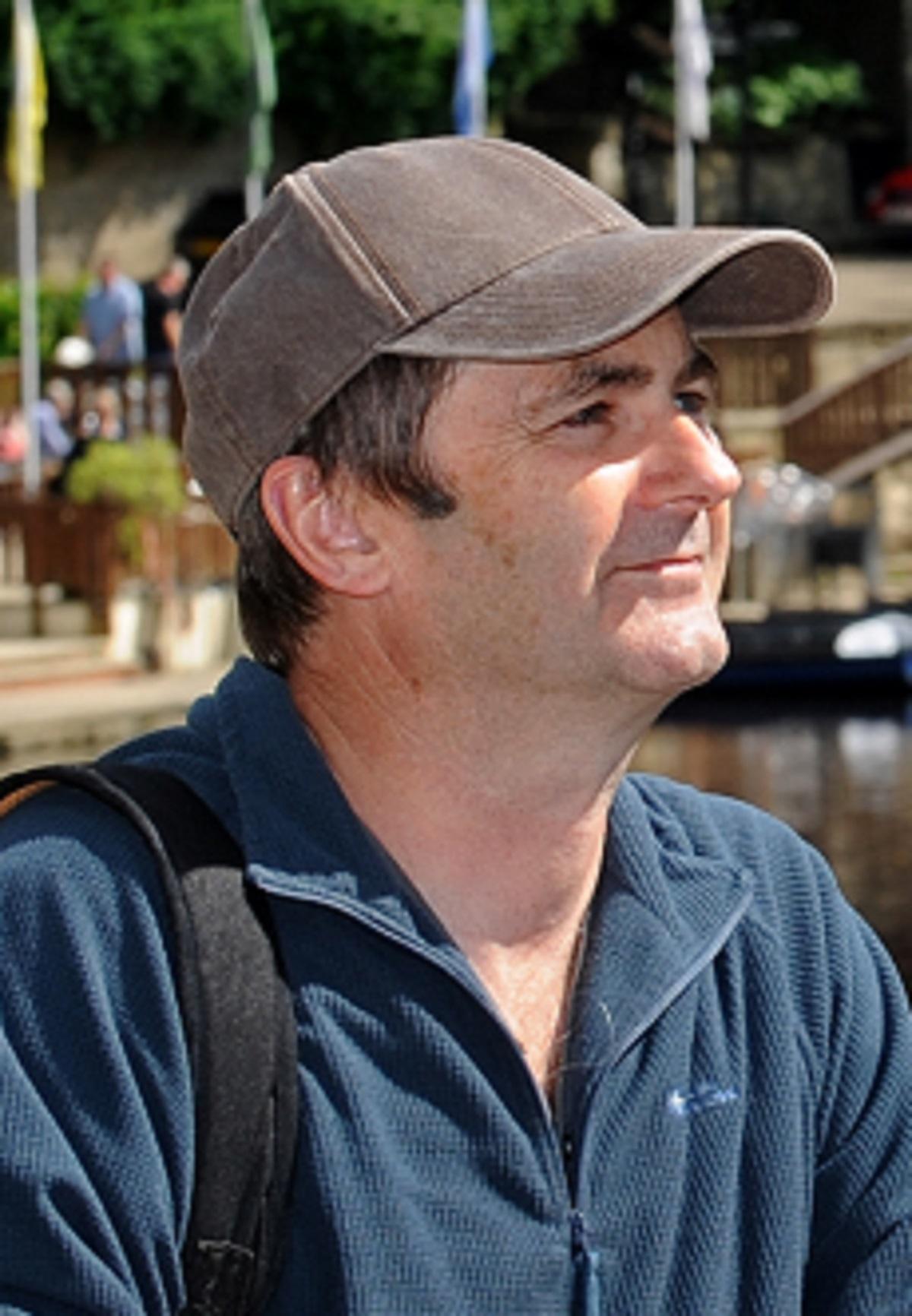
AFTER eight days of walking spread over two years, retired Bootham Park Hospital consultant psychiatrist BOB ADAMS has finally completed his 85-mile trek along the River Ure from its confluence with the Ouse to its source. Here, he describes the eighth and final day of his hike
After eight days walking over two years and eighty-five miles, I have finally reached my goal, the source of the River Ure.
It was a hard walk. The majority was off-piste crossing rough ground with much bog-trotting. This was why I had put it off for so long. I would not advise doing this walk alone as I did. High Abbotside is a desolate and lonely place and I did not meet a single soul the whole day. The only sign of human habitation were ruined farms and sheep pounds. There had been weeks of drought and in places the sphagnum moss was like a dried out sponge. But in Upper Wensleydale there was a steady drizzle of rain and the reed beds were wet enough to get me soaked and cold. Meanwhile the rest of the country baked in the July heat wave.
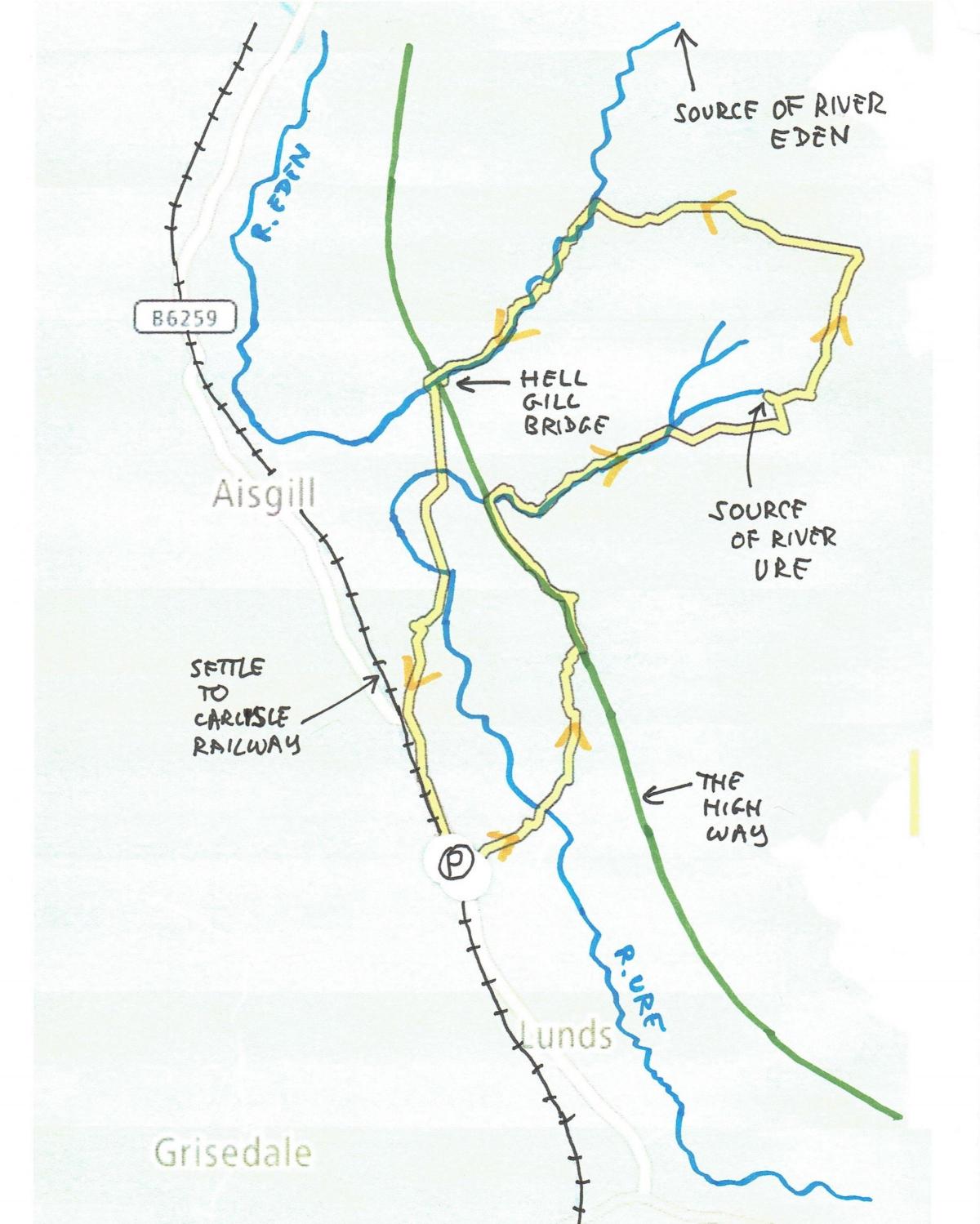
After a long drive from York, over 70 miles, I left the car next to the Settle Carlisle railway, just after the Moorcock Inn, and descended to the Ure at Beck Side. The mighty Ure was reduced to a stream at this point. Ascending the other side of the valley I reached The High Way and turned left. As mentioned before, this track was once a major route from Yorkshire to Westmorland.
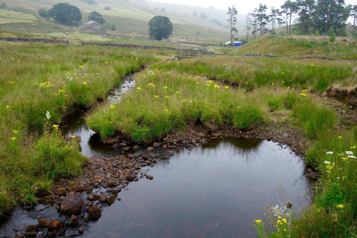
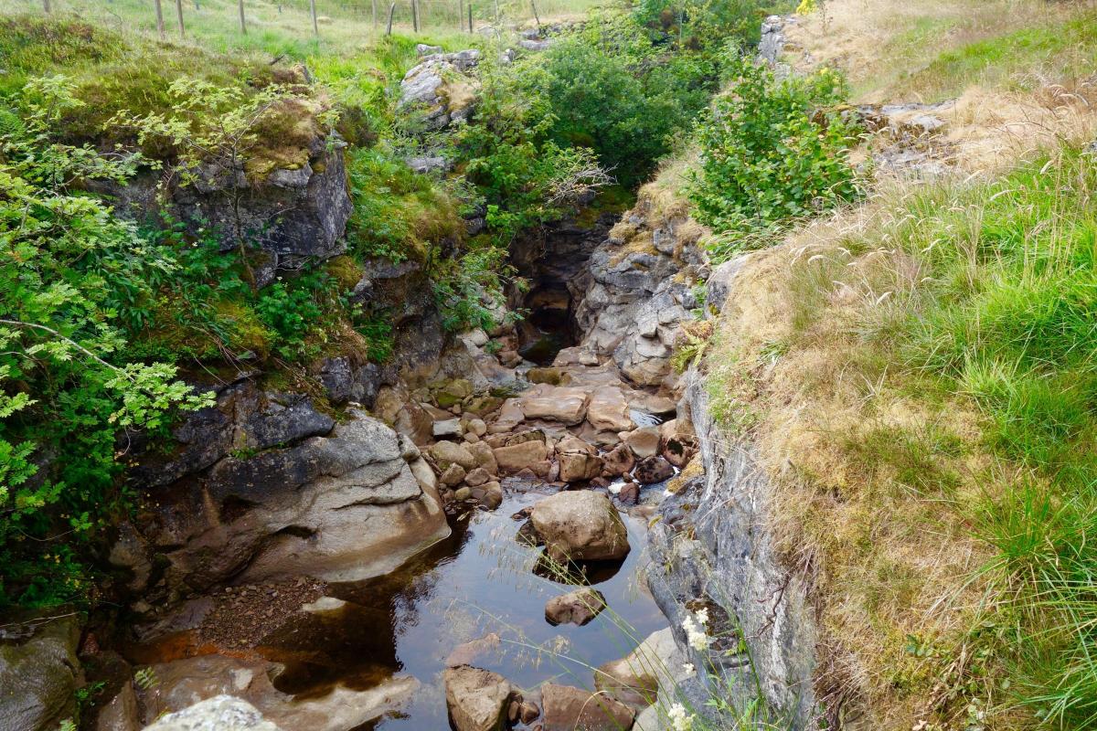
I soon came to the Ure again as it circled around to prepare for its ascent up the moor, creating its own narrow ravine in the process.
On the way I passed a number of logs placed across the steam. They appeared to contain equipment, presumably to measure the depth of the river and give warning of flooding. There was little risk of that today.
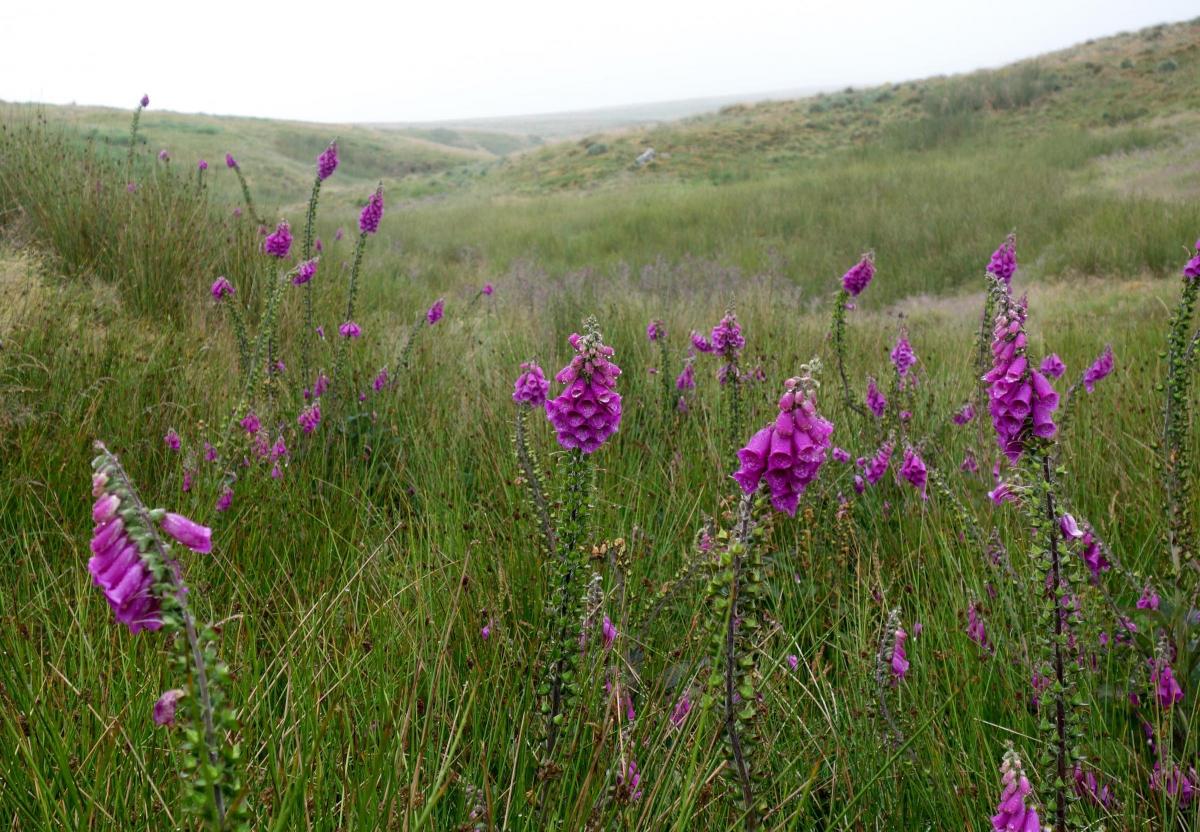
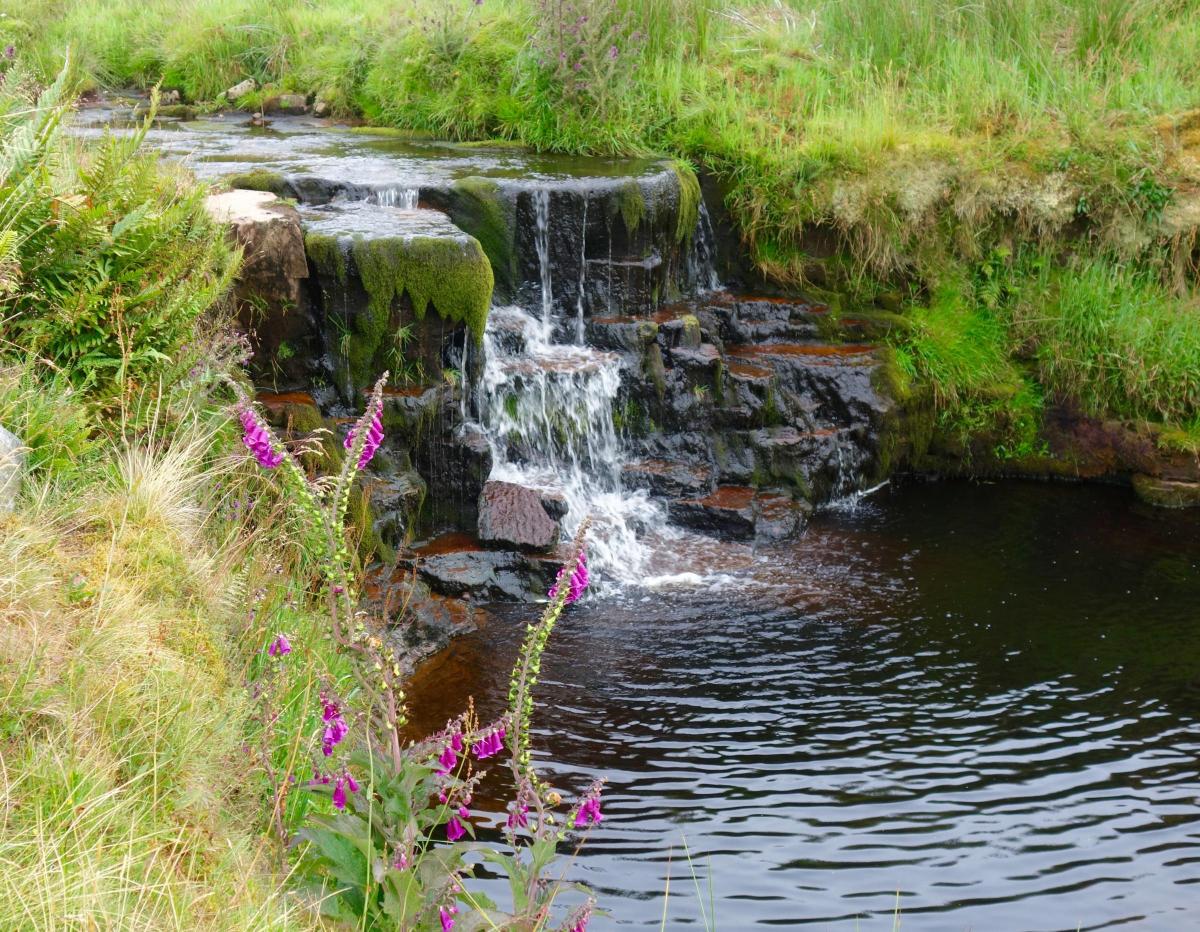
By now it was possible to cross the stream in one stride. I had to do this frequently in order to navigate around banks and bogs. Despite this, progress at this point was better than expected. I came across clumps of purple foxgloves and thistles, adding colour to the uniform green of the vegetation and the slimy red brown of the soil.
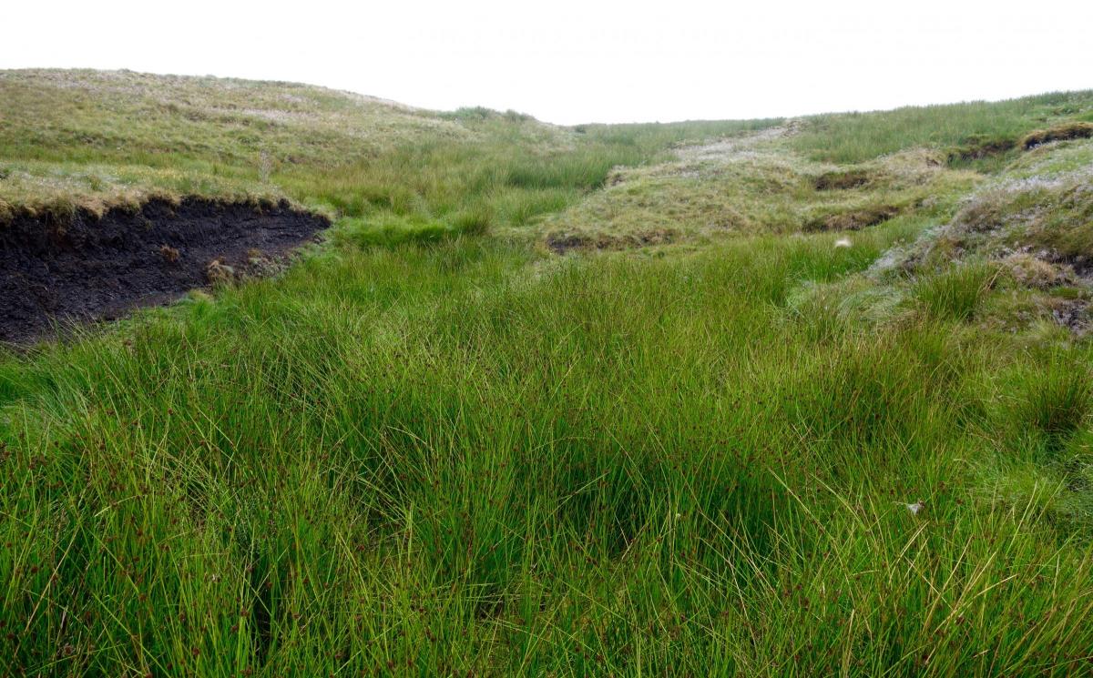
The river divided a number of times and trickled down muddy banks. I was fortunate to have the Ordnance Survey map downloaded on my phone as it would have been impossible to find the correct stream to follow as the mist had descended now, although the drizzle had thankfully eased. The stream petered out into reed beds but reappeared again higher up, just when I thought I had reached the end.
When I finally reached the end the stream had disappeared into reed beds. It was an eerie, silent place with mist all around. I could no longer hear the trickle of the water. I stood for a few minutes in contemplation, trying to get excited. It had taken me over two years to get here. But I was concerned about finding my way across open moorland in the mist and it was time to press on.
My plan was to head off in the direction of the source of another great river, the Eden, but it seemed too far for today.
This area of moorland is truly in the centre of England. At one point it is possible to walk a mere 400 metres between the two rivers at their closest point. The River Eden flows 90 miles northwest, eventually discharging into the Solway Firth, where it meets the Irish Sea. And only a couple of miles north of here is the source of the River Swale. You may remember that the Swale eventually joins with the Ure at Myton, near York, just before it becomes the Ouse.
My compass must have been malfunctioning as I appeared to be heading too far to the north. Luckily the map on my phone was still working. It was hard going across bogs and banks of peat. One such bank collapsed and I twisted my knee. Then I nearly sank into a bog. Thankfully the mist began to clear and it was a relief to make out the Eden winding down from its source high on Black Fell Moss on Mallerstang.
At this point the Eden is known as Hell Gill Beck. After a short distance it literally disappears into the bowels of the earth, into a ‘slot’ canyon, a deep cave with a narrow open roof. I understand it is possible to follow the river into the darkness below but this would require ropes and some swimming. Instead I carefully traversed the top of the gorge, keeping well clear of the drop, up to twenty metres down. I couldn’t see the river but could hear it rumbling and burbling deep below. The top of the canyon was only a few feet wide and was hard to spot as was covered in vegetation and over-hanging trees. It was truly a fearful and dangerous place.
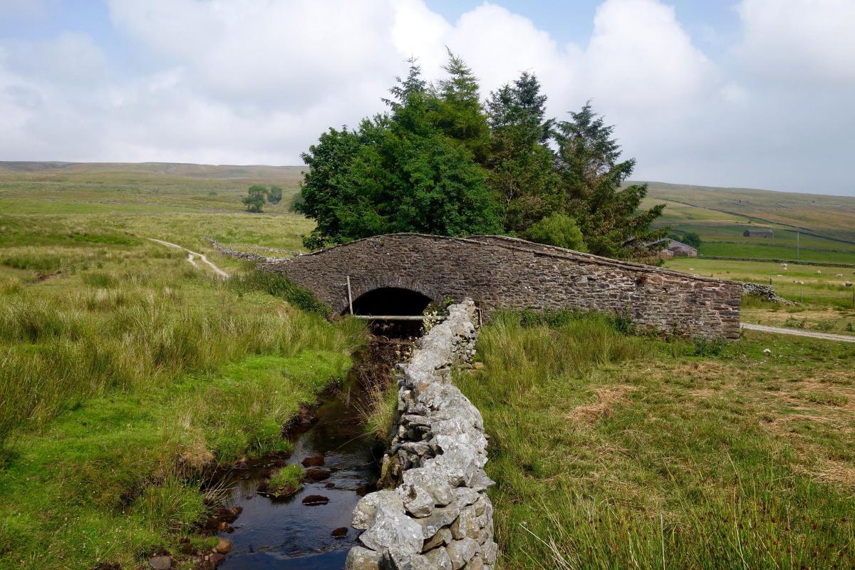
At last I finally reached an actual path at Hell Gill Bridge, a bridge that crosses the gorge half way along its length. It was The High Way again and no track could have been more welcome. The present bridge dates from the late nineteenth century but there has been a bridge at this spot for centuries. It was apparently the site of a medieval fair and marks the boundary between Yorkshire and Westmorland.
After that it was easy going just a few yards on a proper track to reach the Ure again, then saunter up to my car parked near the railway line. The mist cleared and the sun came out.
So that is the end of my walk along the River Ure from its confluence with the Ouse near Linton. I have had many adventures and have walked through scenes of great beauty. I have enjoyed great company but also times of solitude. It is now time to take a break from river walking for a while.


Comments: Our rules
We want our comments to be a lively and valuable part of our community - a place where readers can debate and engage with the most important local issues. The ability to comment on our stories is a privilege, not a right, however, and that privilege may be withdrawn if it is abused or misused.
Please report any comments that break our rules.
Read the rules hereLast Updated:
Report this comment Cancel