
THE Tour de Yorkshire was took place last weekend. The closest it came to our area was on Saturday, running along the A170 from Thirsk to Scarborough. The professionals benefit from closed roads and police outriders, but for we leisure cyclists, the main A170 is not the place to be.
So instead, I’ve sampled part of Stage 4, which started in Halifax on Sunday, looping north to Wensleydale, then back south via Masham, to pass west of Harrogate, and finishing in Leeds.
At 190km or 118 miles, that’s a bit far. So I took a convenient quarter slice from Masham to Otley.
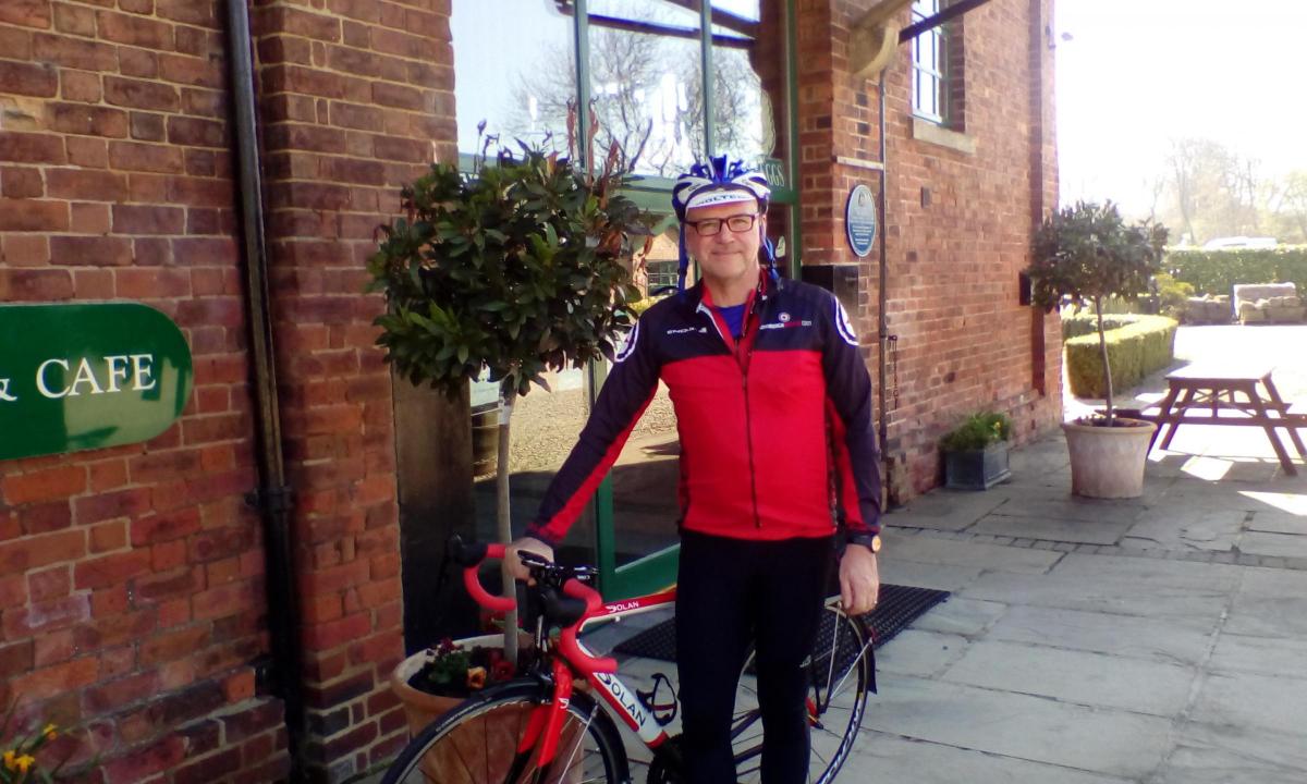
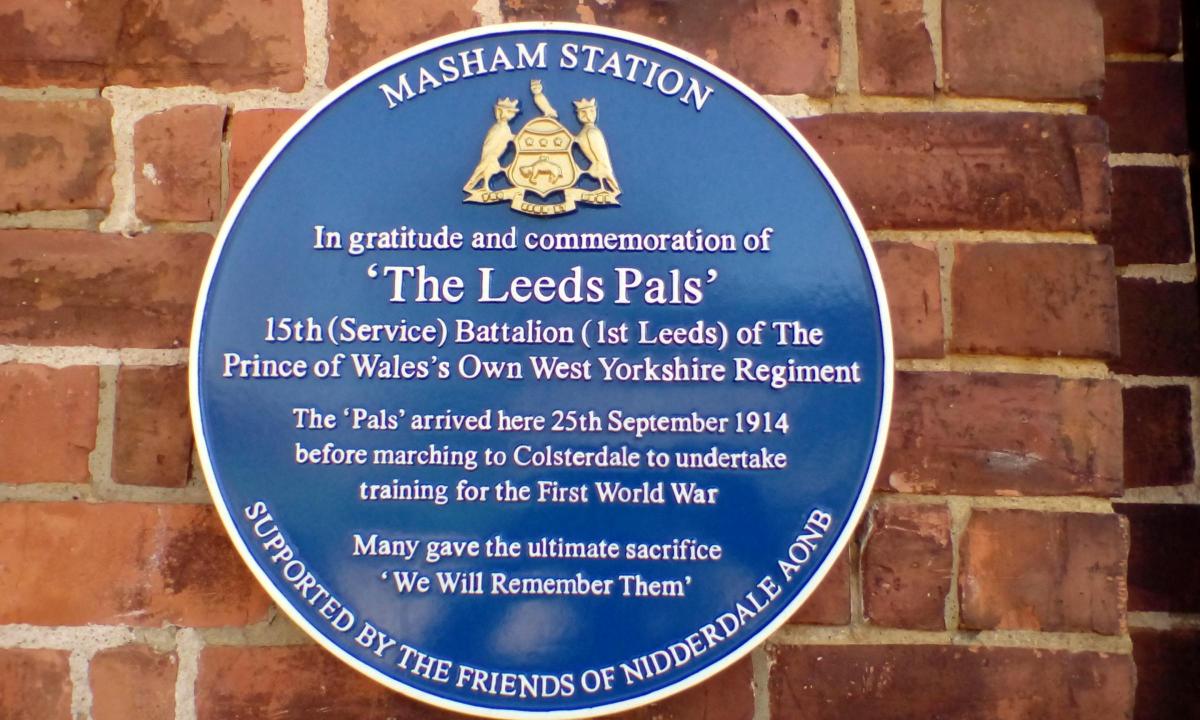
There are lots of cafes in Masham, but parking can be limited, so we called at The Old Station, just east of Masham on the A6108. Primarily a camping and caravan site, visitors are welcome at the cafe.
My wife went off with the car to spend the day in Harrogate, but with instructions to collect me again at the end of the ride.
Start by turning left out of the car park, to descend to the River Ure, then climb towards Masham market place and bear right, signed Grewelthorpe. Head out of town in Park Street and climb onto the moor.
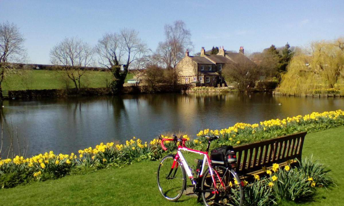
At Grewelthorpe, go right (unsigned) opposite the Crown Inn. In fact, I carried on into the village a little beyond the Crown, to have a look at the picturesque duck pond, before retracing to the junction.
Leaving Grewelthorpe, pick up signs for Kirkby Malzeard. The race route climbs a short sharp hill into the village, where right at cross road, now signed Laverton.
Entering Laverton, go right across a bridge where there’s a partially obscured sign for Pateley Bridge. All fresh Tarmac along here, as the highways authority have been preparing for the race.
Climb gently to a T-junction, where right, still signed Pateley. Facing into the prevailing wind, it’s now a two mile climb onto Dallow Moor. I don’t mind saying; it was starting to get a little hard.
Eventually, drop down to cross Skell Beck on a narrow bridge around a sharp bend, before climbing again. Ignore a junction off to the right, signed Pateley (via steep hill) but keep straight on instead, to cross a cattle grid.
Another long straight climb follows, and I reflected on what it must be like to be racing up here at 20mph.
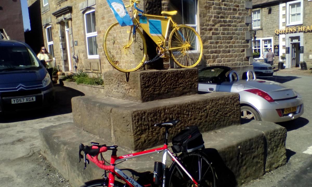
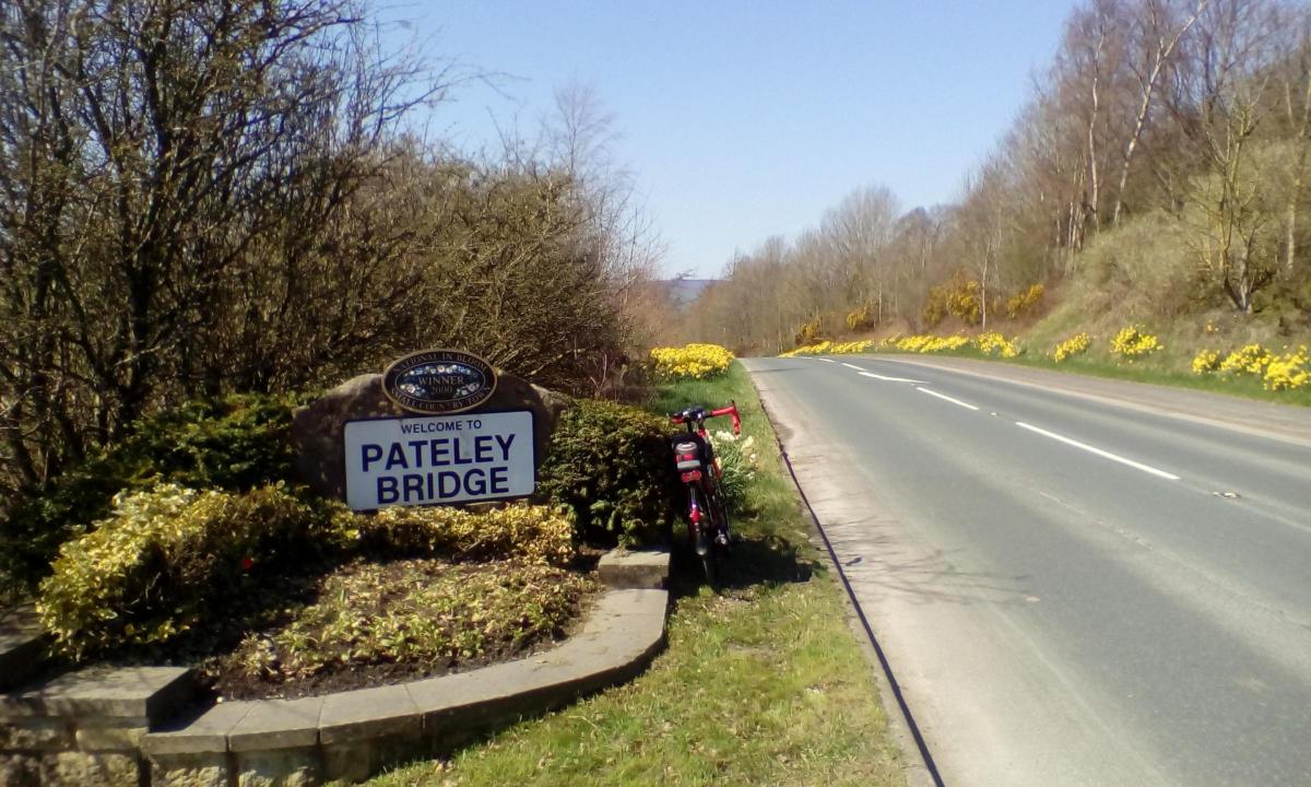
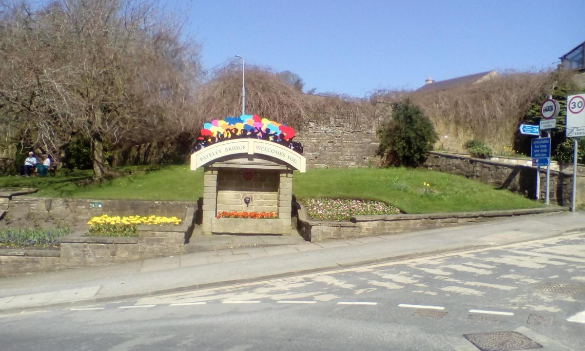
Descend to T-junction at the B6265, and go right, for Pateley. Descend though the hamlet of Blazefield to another T-junction, and continue right, for Pateley. Just into the village, I paused on a sharp left bend to admire the brightly coloured Welcome sign for the race.
I’m familiar with Pateley Bridge, but there’s always something new to learn, and I found myself standing at the site of the Nidderdale Brewery (closed in the early 20th century and demolished 1963).
Continue down the steep high street, where there’s a selection of cafes and pubs. Take your pick here, or follow me for a slight detour off the race route, to a quieter spot.
Cross the bridge over the River Nidd, and if keeping to the race route, continue straight on (now signed Grassington).
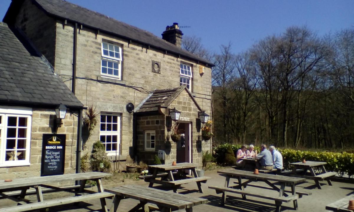
Otherwise, once over the bridge, bear right at a garage, onto Low Wath Road, signed for Ramsgill. Follow this for less than a mile to find the Bridge Inn on the left.
There’s a selection of sandwiches, plus sides of chips. Food is sourced from a three-mile radius. A good choice of real ales too.
I’d not come across Isaac Poad, Brewers and Barley Merchants before. I enjoyed their refreshing No.86 Golden Ale (3.6%), before discovering that Poads are based in Cattal, between Knaresborough and York.
I was intrigued that the brewery sat alongside the same River Nidd which flowed by my present location, and thus gave a sense of connection.
From the Bridge Inn, retrace to T-junction with B6265 and turn right, signed Grassington.
This is Greenhow Hill, and a major climb for the race. I’ve ridden it several times before, but have been studiously avoiding it for about the last 25 years.
In the interests of following the race route however, and having the authentic experience, short cuts are not an option today. The climb proceeds in a series of four steps or ramps. So it was a case of walking a bit then riding a bit.
While this is an important cross Pennine route, traffic wasn’t heavy, and I had no problem walking.
About two miles out of Pateley, there’s a parking place on the left, and a brown tourist sign reads The Coldstones Cut. This is your indicator that the worst is over, and the final half mile into Greenhow is actually a freewheel.
Greenhow stands at about 400 metres or 1,300 feet. The place certainly has a feel of exposure and harshness about it, which will add to your sense of achievement in having conquered the Cote de Greenhow Hill. The official race website records this as being 3.3km at an average gradient of 8.2 per cent.
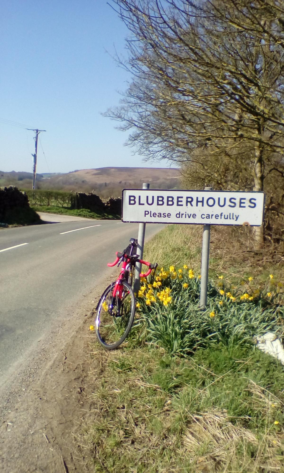
At Greenhow, turn off left, signed Blubberhouses. For the next seven miles the route undulates but maintains an altitude of about 300 metres. It’s a bit bleak up here, but that’s the whole point really.
You’ll catch glimpses of the white golf balls at RAF Menwith Hill early warning station, slightly left.
This sits on the main A59 which we’ll cross shortly.
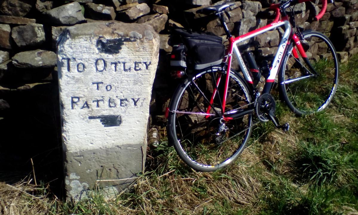
A mile past the hamlet of Thruscross, there’s turn off left at Meagill Lane, and look out here for the old milestone, showing Patley (sic) behind us and Otley, our destination, ahead.
Drop down to the main A59 and go right, cross with care, and quickly take first left at a church.
Signed now for Otley, there’s a short steep climb which I was quite happy to walk on this, the hottest day since last August.
The professionals will be up here in a trice; it’s not even a categorised climb. The route drops annoyingly to cross Gill Beck, feeding Fewston Reservoir off to the left. Then it continues to climb the main obstacle of Askwith Moor.
Engage low gear now. I’m feeling the strain and glad that I’d only tackled about one quarter of the Stage 4 race route.
Eventually, the road starts to fall away again, down towards Otley. I’ve chosen not to go into the busy town centre, but to finish for the day at The Roebuck on the outskirts.
Watch out for this on the right hand side, as it’s the first building you come to.
As my transport was waiting for me, I was able to re-hydrate with a nice cold pint of Saltaire Blonde from nearby Shipley. After all; it’s not a race.
Cycle ride facts
Date of ride: Thursday, April 19,
2018
The map: Ordnance Survey Landranger No. 99, Northallerton and No.104, Leeds
The cafe: The Old Station, Masham, HG4 4DF, 01765 689569, oldstation-masham.co.uk/ (closed Mondays, but also April 29 to May 14, inclusive for holidays)
The pub: The Bridge Inn, Low Wath Road, Pateley Bridge, HG3 5HL, 01423 711484, thebridgeinnpateley.com/
The end: The Roebuck, Roebuck Terrace, Otley LS21 2EY, 01943 463063, roebuckpub.co.uk/
The bike: 2016 Dolan Preffisio
Distance: 33 miles
Car parking: Market Square, Masham, HG4 4EB (honesty box). Avoid markets on Wednesday and Saturday


Comments: Our rules
We want our comments to be a lively and valuable part of our community - a place where readers can debate and engage with the most important local issues. The ability to comment on our stories is a privilege, not a right, however, and that privilege may be withdrawn if it is abused or misused.
Please report any comments that break our rules.
Read the rules here