

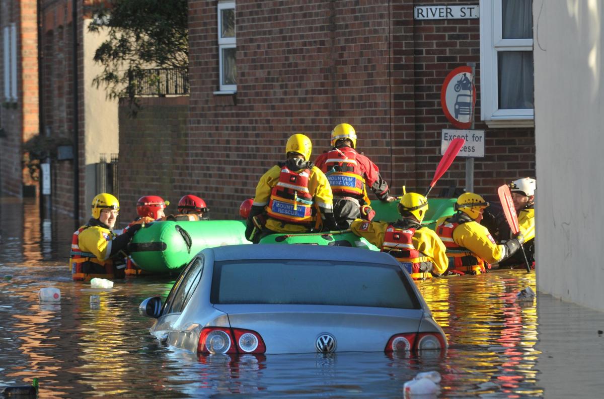
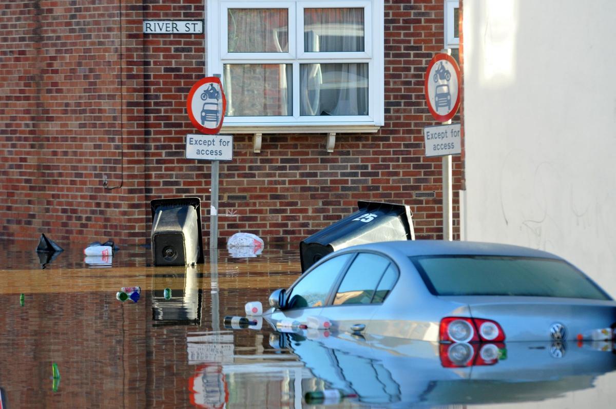
A MASSIVE programme to install new and stronger flood defences across York is expected to get under way next year, making use of £45 million provided by the Government in the wake of the 2015 floods.
The Environment Agency has already revealed detailed plans to protect Clementhorpe and the New Walk area, with construction work expected to start in Clementhorpe later in 2018.
But an agency spokesman said it also intended to announce preferred options for flood defences and detailed designs for a number of further 'flood cells' across the city in the spring.
"Following the detailed designs, each flood cell will go to the planning stage," he said. "Once planning permission has been granted and the full business case has been approved, construction work will begin."
Here are the agency's latest flood defence plans for locations across York:
*Scarborough Bridge to Ouse Bridge, including North Street: Will consult on options in January. Modelling shows need to increase height of existing defences and develop solutions for Memorial Gardens and Post Office car park. Discussion with key landowners underway.
*Naburn: Looking to undertake ground investigations to confirm viability of works before consulting residents on preferred option.
*Acaster Malbis: Due to flood flow routes in area, developing formal flood defence scheme extremely difficult and 'property level resilience options' will be offered for affected properties.
*Fulford: Working closely with York council to develop effective solution.
*Bishopthorpe: Flood risk greatest along stretch of Bishopthorpe Road and Main Street/Chantry Lane. Will be investigating potential options in these areas and consulting with local residents.
*Tang Hall Beck and Osbaldwick Beck: Investigating opportunities to develop flood storage areas upstream to reduce flood flows, as well as de-culverting within city.
*Groves to Haley's Terrace: Investigating additional flood defence options, including embankments and walls, and also opportunities to develop flood storage areas upstream of city to reduce flood flows.
*Haley's Terrace to Link Road: Investigating options for area as well as opportunities to develop storage areas upstream to reduce flood flows.
*Westfield Beck: Investigating flood risk in detail and looking at options to mitigate impact, and engaging with residents before any proposals taken forward.
*Copping Farm to Scarborough Bridge: Existing defences need to be raised to continue protecting homes and businesses. In discussions with landowners to understand how best to incorporate new scheme.
*Scarborough Bridge to Lendal Bridge: Significant area within historic city centre and any scheme needs support of heritage bodies before options shortlisted.
*King's Staith to Skeldergate Bridge: Providing protection to same level as elsewhere in city not acceptable. Assessing optimum size of defences to provide additional protection without negatively impacting riverside amenity and neighbouring businesses. Due to government spending rules around cost benefit, scheme may require additional funding support.
*Queen's Staith and Skeldergate: Potential to reduce flooding by installing floodwalls/gates between existing buildings, but dependent upon structural integrity and ground conditions which are currently under assessment.
*Clifton Bridge to Scarborough Bridge & Hob Moor: Preferred option to increase resilience of Holgate Beck pumping station. Consultants identifying best way to achieve this, with construction due in spring.
*Clifton & Rawcliffe: Bespoke scheme currently in detailed design phase, with upgrade to embankment at Clifton Ings and formalisation of pumping arrangements for Blue Beck.
*Cliffords Tower, Hungate, Foss Islands, Foss Bank and Layerthorpe: £17 million upgrade of Foss Barrier provides additional protection.


Comments: Our rules
We want our comments to be a lively and valuable part of our community - a place where readers can debate and engage with the most important local issues. The ability to comment on our stories is a privilege, not a right, however, and that privilege may be withdrawn if it is abused or misused.
Please report any comments that break our rules.
Read the rules here