
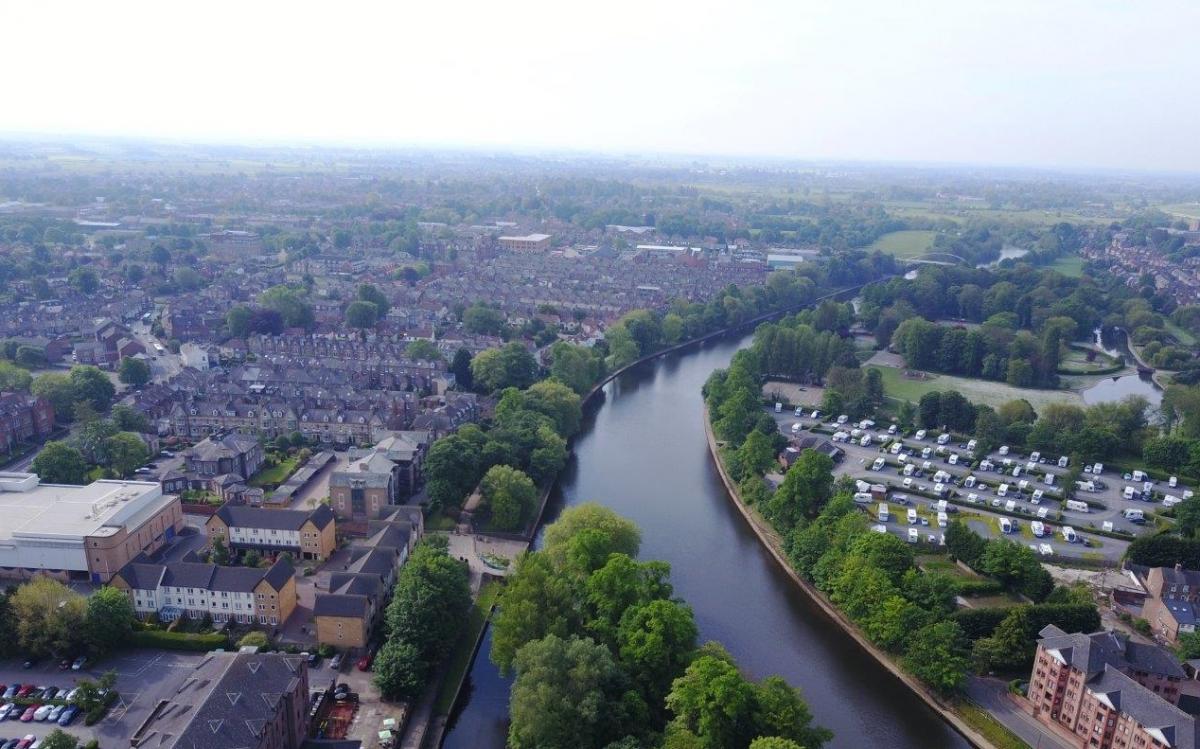
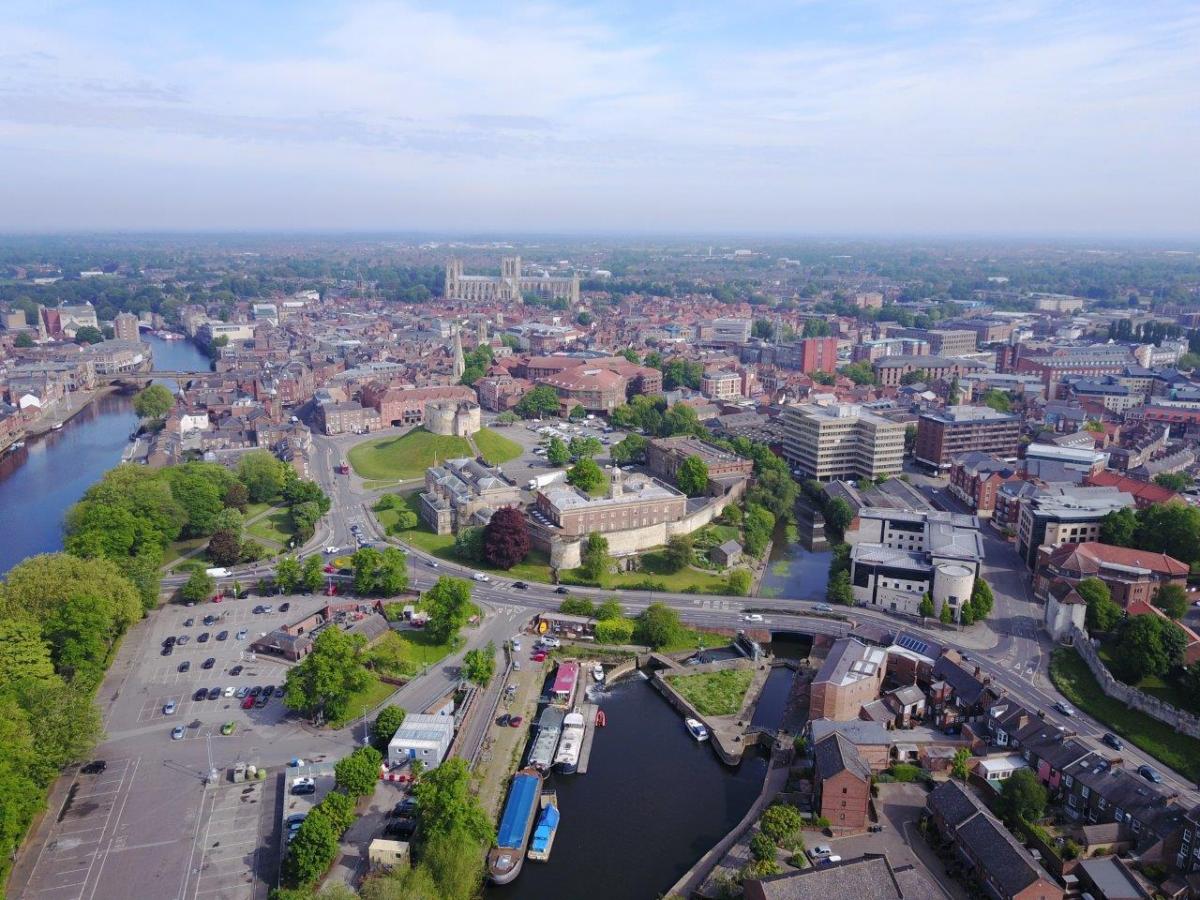
ENVIRONMENT Agency engineers have turned to a 21st century method to get vital data for flood planning in York, resulting in stunning views of the city.
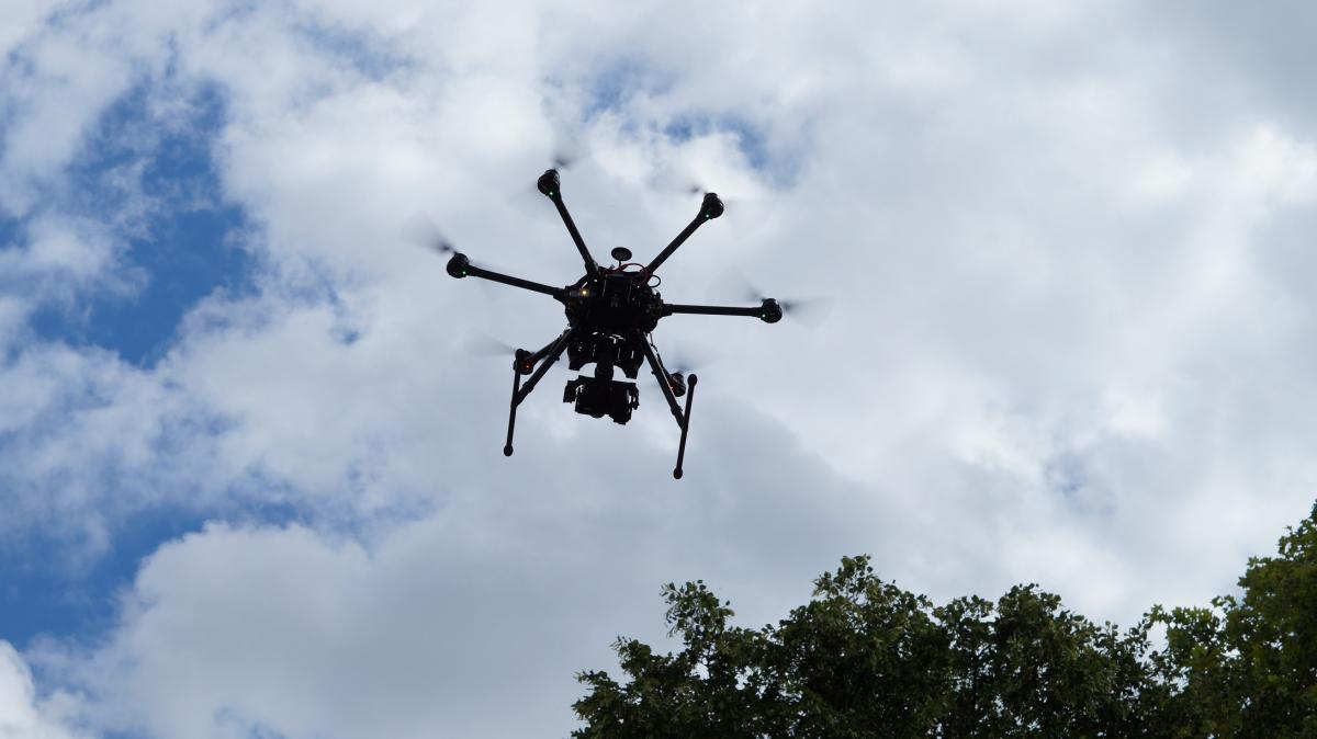
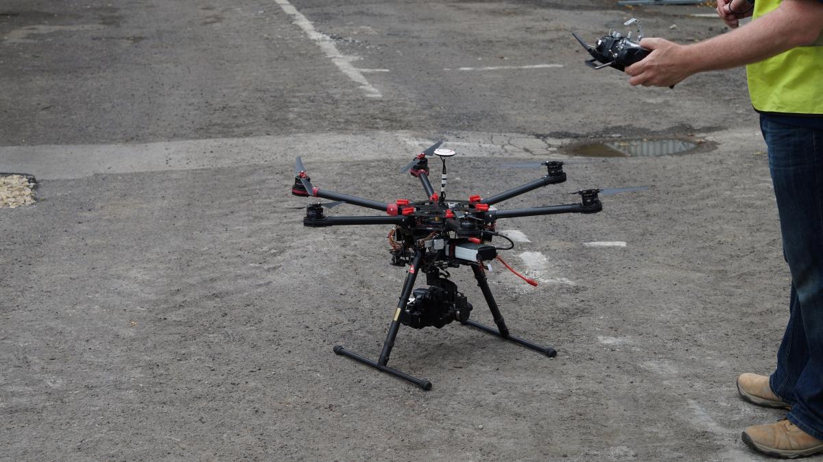
Contractors for the Environment Agency have been using a drone with cutting edge technology to survey land around the Rivers Ouse and Foss in the city.
The drone, which is being launched from St George’s Field, is taking thousands of images over the next few days to generate a detailed 3D map of the area - but in the meantime has also come up with some breath-taking birds' eye views of the historic city.
Ben Hughes, Environment Agency Project Director, said: “The drone can very accurately map ground levels. This high-tech approach is faster than traditional survey methods and it also reduces any disturbance to residents. The results will inform the design of new flood defences.
“Mapping is the first stage of our work over the summer. Next, we will be undertaking detailed site investigations to understand ground conditions in areas we are looking to build new defences. The results of this investigation work will allow us to design schemes which block the flow of floodwater, both above and below ground, and ensure we get the right design for each location.”


Comments: Our rules
We want our comments to be a lively and valuable part of our community - a place where readers can debate and engage with the most important local issues. The ability to comment on our stories is a privilege, not a right, however, and that privilege may be withdrawn if it is abused or misused.
Please report any comments that break our rules.
Read the rules hereLast Updated:
Report this comment Cancel