
YORK and North Yorkshire woke up to frosty lawns and icy pavements today - and there could be sleet and snow on Wednesday, particularly over higher ground.
After an exceptionally wet and windy but mild winter, the region has finally been feeling the affects of a short blast of Arctic air, brought to Britain on northerly winds.
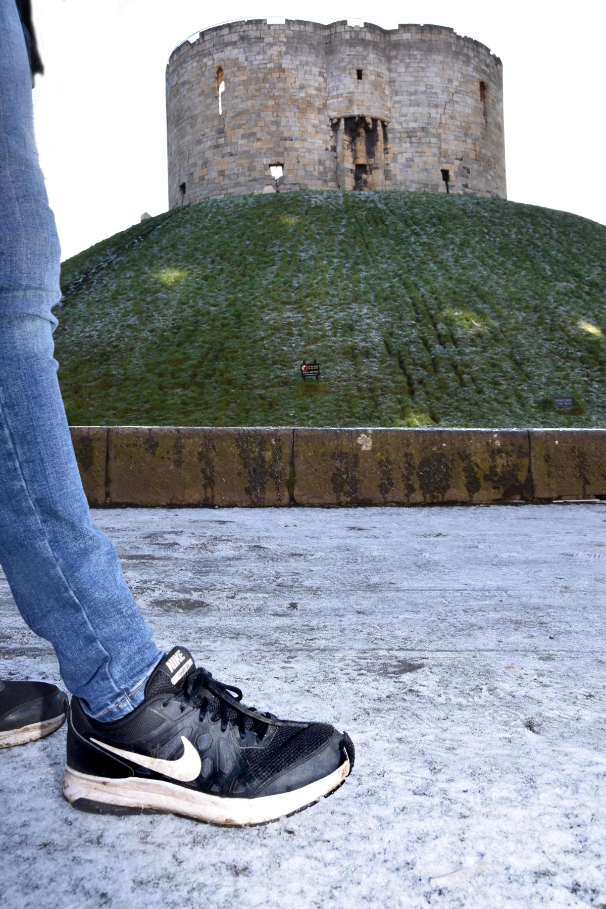
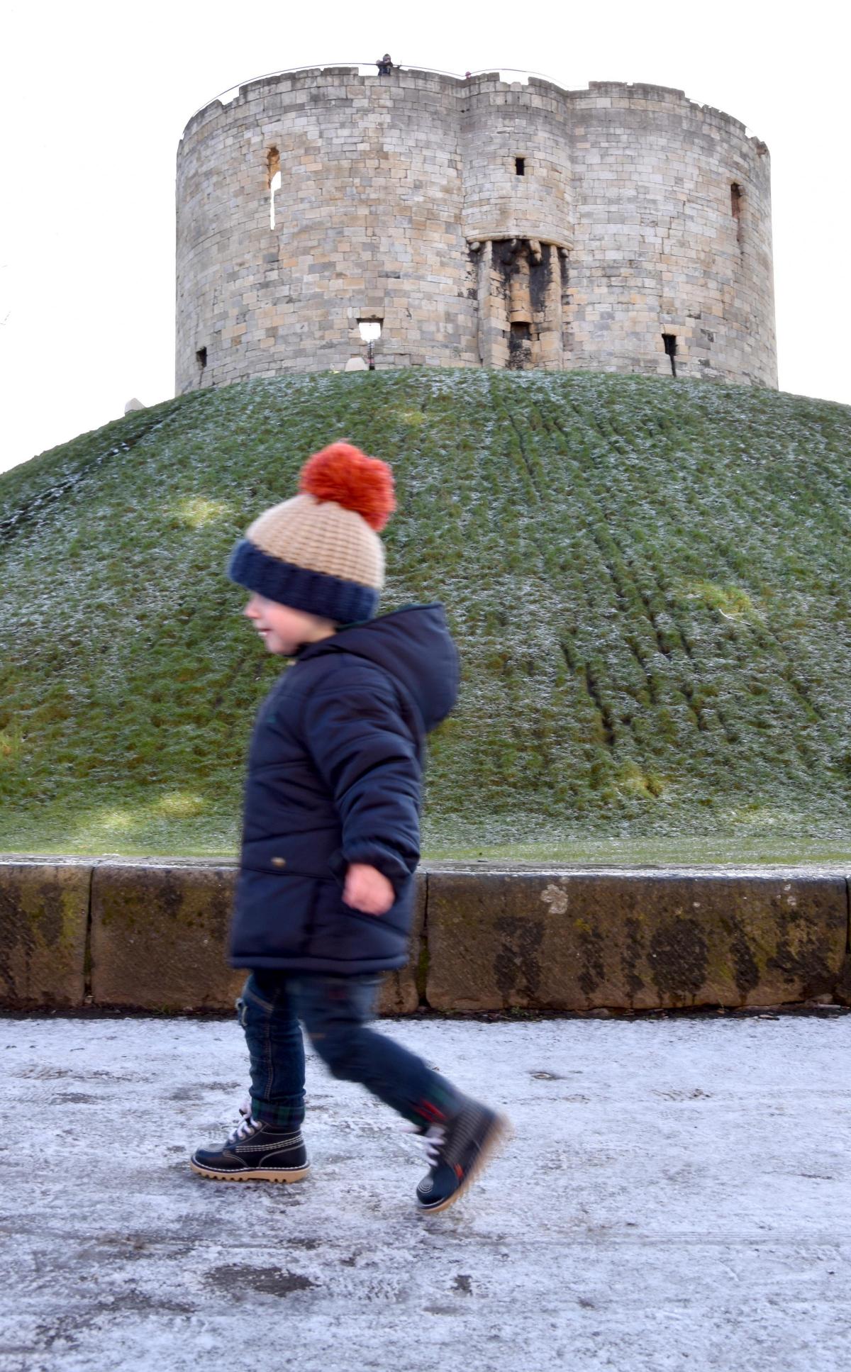
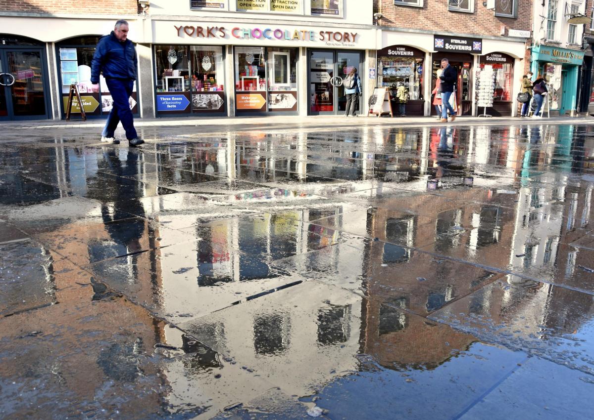
As our pictures show, light sleet and snow showers on Sunday night, followed by a sharp frost, left many York pavements in a treacherous state today, for example below Clifford's Tower and in Kings Square.
Further frost is due tonight, with temperatures expected to fall to -1 or -2 C - colder than Reykjavik in Iceland - again leaving icy patches on untreated surfaces this morning.
Long periods of sunshine are forecast tomorrow, with temperatures rising to 5C, but the Met Office said the wind chill factor from a freshening southerly breeze will make it feel very cold.
It will then cloud over tomorrow evening, with rain, sleet and snow arriving on Wednesday, with temperatures rising to a maximum of only 2C.
Heavy snow is forecast over higher parts of the North York Moors, such as Goathland, but weathermen say there could be also some lighter snow at times over lower levels, even in cities such as York.
Thursday is set to be a little milder, with sunshine and light winds, before wet and windy weather arrives for Friday and then a much milder weekend with more cloud and rain at times.


Comments: Our rules
We want our comments to be a lively and valuable part of our community - a place where readers can debate and engage with the most important local issues. The ability to comment on our stories is a privilege, not a right, however, and that privilege may be withdrawn if it is abused or misused.
Please report any comments that break our rules.
Read the rules here