
GEORGE WILKINSON sets off to Lockton in the rain and without his navigator. Everything turns out all right in the end, especially by the time he reaches the pub.
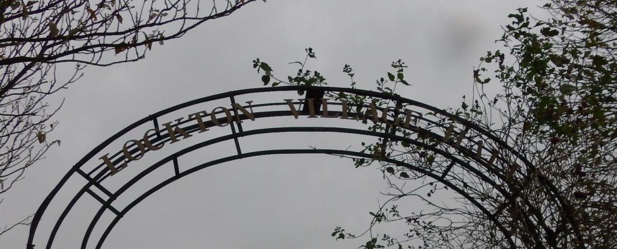
LOCKTON was my start, solo, without my sandwich-eating navigator, so my plan was for simplicity and a pub.
The plan also included a warm up in the village café, but that wasn’t open. Nor was my little route one of the five recommended on the info board, which was a puzzle.
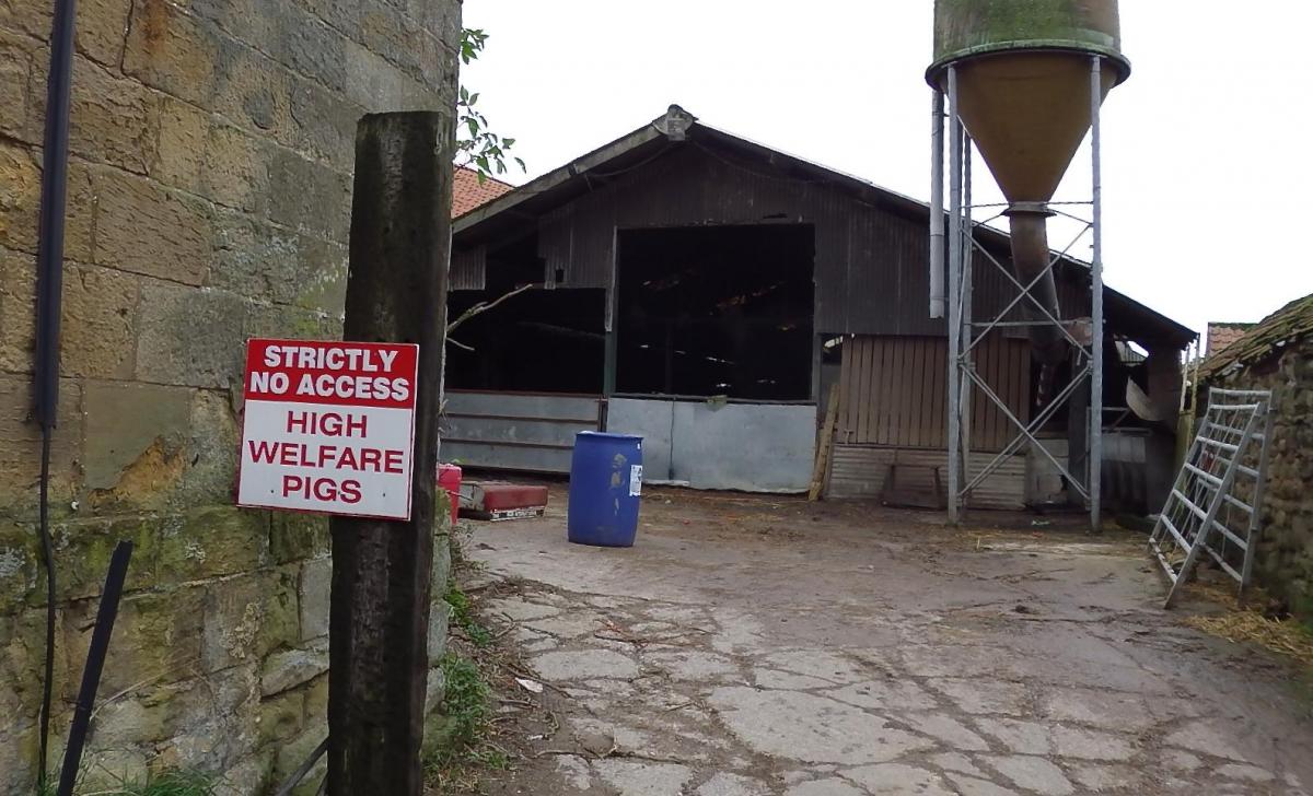
I lingered in Lockton; by a coronation bench and a jubilee tree, by the church, youth hostel and farm; then eventually took a lane out. There is free car parking on the edge of the village opposite the cemetery.
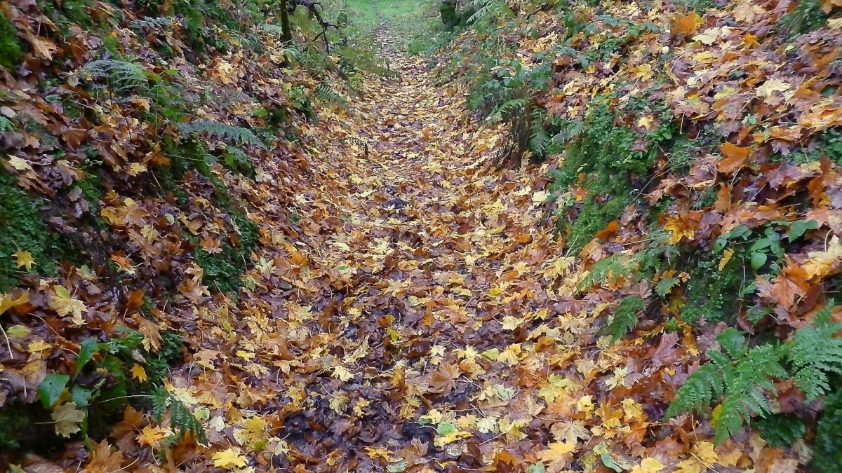
Soon I slid into the top of a valley and found a nice old route in Hagg Wood that was sunken with use and carpeted with a kaleidoscope of fallen leaves.
The rain came down earlier than forecast. Moreover, my wish for no-thought navigation was thwarted by a most interesting convolution and joining of various types of right of way; but, dare I say it, you cannot get lost because there are many waymarks and a sequence of explanatory notices with red 'you are here’ dots.
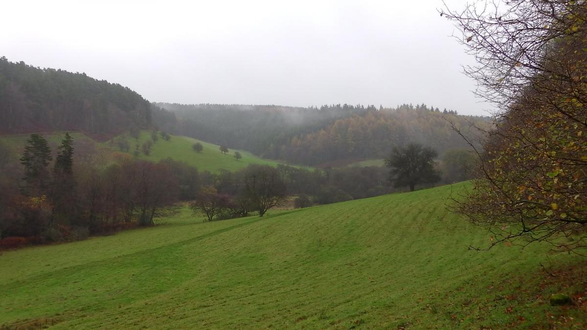
This twist happens around Staindale Lodge where streams meet and the edge of Dalby Forest is the other side.
I climbed up through dark woods and crossed paths with walkers wrapped in waterproofs; none were singing in the rain.
The Fox and Rabbit was cheery though, warm and busy, with pigeon on the menu, foxhounds on the table mats, and good food for a bad day. It just needs a bigger porch for the sodden heaps of walkers’ clobber.
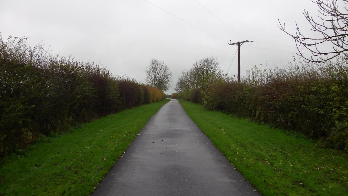
Later, the rain had eased, and the second half of the walk exactly fitted the need, being easy on everything.
Distance was erased by mist, there was no traffic because there is no through road. It was just me and the lane, the verge and the hedges.
Every fifty yards or so brought a different field, a keyboard pattern each side. One held cattle, another sheep, another horses, one was for sale and most were green. Someone walking this lane in the mid-nineteenth century could have counted about 50 fields; today there are nearly 40.
Directions
When in doubt look at the map. Check your position at each point. Keep straight on unless otherwise directed. (wm=waymark, fp=fingerpost).
1. From St Giles Church, east through village, pass youth hostel, road, pass village hall.
2. Cross main road, diagonally right across field (metal sign). Gate (wm) to path/track, gradually down through wood, three gates (wms).
3. At bottom, metal gate (fp, and explanatory notice of rights of way) and immediately right to stile (wm), 100 yards up grass hillside, stile and right to drive uphill (fp Overscar Lane).
4. At drive gates, wallstile on left (fp Dalby and notice) and left to track downhill, cattlegrid/gate (wm), 200 yards.
5. Straight on at corner (wms) to track, 50 yards (fp Low Dalby), 20 yards (near gates to High Dalby House), right (wm) to ‘grassy’ track then sunken track for 100 yards, right (wm post) to grass path uphill for 50 yards. Stile (wm far side), path uphill through wood, join more level path. At top, over track, small gate, field-edge, gate (wm), track, right to skirt barn (wm), gates, pub yard.
6. From Fox and Rabbit cross main road to farm drive (bridleway, Farfields), follow metalled drive around corner, past farm, becomes a road.
Fact File
Distance: Three and a half miles.
Car parking: Parking area opposite cemetery or roadside in Lockton.
Right of way: Public.
Date walked: November 2014.
Tourist information: Pickering TIC 01751 473791.
Refreshments: Lockton Tea Rooms and Fox and Rabbit Inn.
Map: OS Explorer OL27 North York Moors eastern area.
Terrain: Valley and flat ground.
Difficulty: Moderate.
Please observe the Country Code and park sensibly. While every effort is made to provide accurate information, walkers set out at their own risk.


Comments: Our rules
We want our comments to be a lively and valuable part of our community - a place where readers can debate and engage with the most important local issues. The ability to comment on our stories is a privilege, not a right, however, and that privilege may be withdrawn if it is abused or misused.
Please report any comments that break our rules.
Read the rules hereComments are closed on this article