
GEORGE WILKINSON sets off from Ralph Cross high on the moors. Thoughts of history are soon diverted by the distractions of a colourful shoot.
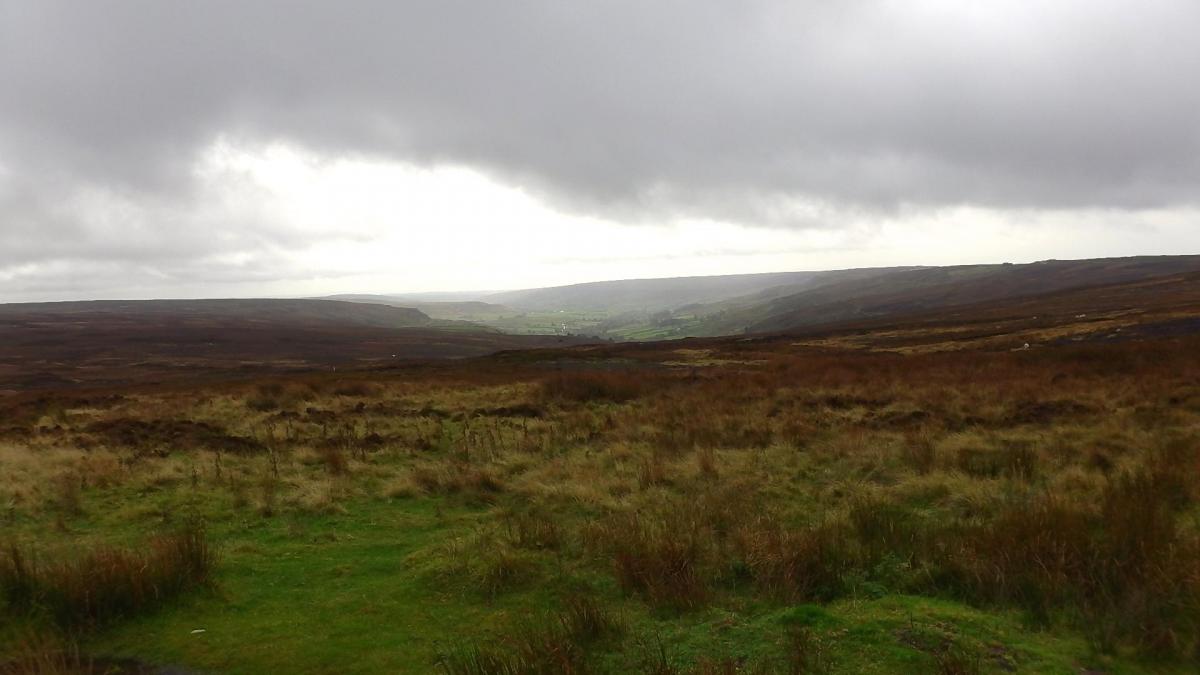
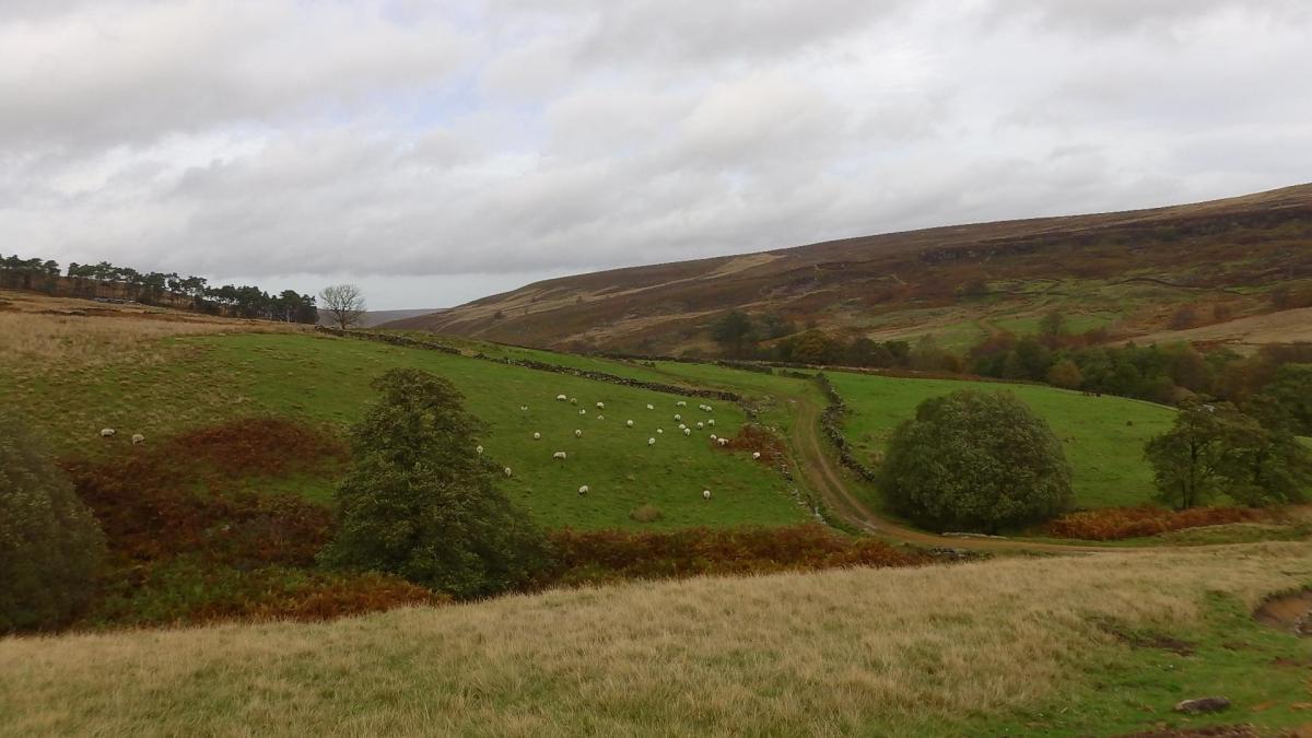
RALPH CROSS stands high on the moors where valleys lead down to the north and to the south; Rosedale was illuminated under a mat of cloud.
I had just read a 2013 book titled Westerdale: The Origins And Development Of A Medieval Settlement by Carol M. Wilson. So that was where we headed, looking for, to quote the opening words of the first chapter, "The remote area of the dale known as Esklets."
However, Westerdale was busy despite a blustery day, with walkers, cyclists, dogs and runners. Salvos of shotgun fire came from somewhere ahead and, all in all, we were distracted from the historical.
When we crossed Clough Beck it was hard to imagine Wood Dale, its valley, as the Wulverdalebec where monks had a licence to snare wolves. Any such spell was broken by a sequence of fresh, white-lettered stone signs by grouse butts that read ‘Little Ralphs, ‘High Pie Thorn’ and ‘Low Pie Thorn’.
Similarly, when we got down to Esklets, we observed convoys of Range Rovers and found the shooters readying for lunch.
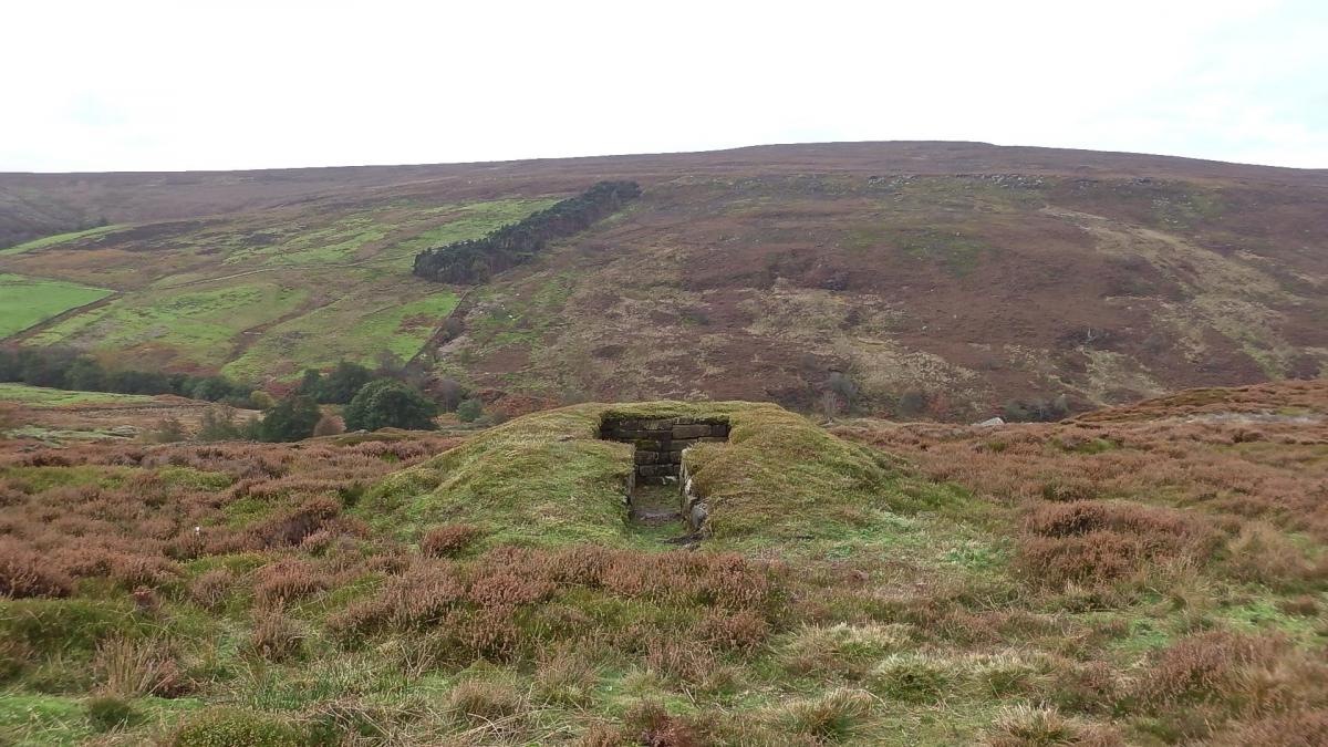
Here, in the early 12th century, where the River Esk begins, the Cistercians were given 36 acres and built a grange. There is in ‘remarkable preservation’ their ‘organic’ pattern of little fields. These monks and lay brethren sought isolation; it’s a few miles walk to the village of Westerdale, where there was a small Cistercian nunnery and later a communal oven.
We had a sandwich, then took the route out of the head of the valley, a monks' way to their HQ at Rievaulx. This brought us to the 19th century railway line from Middlesbrough to the ironstone miles of Rosedale. The line opened views down Farndale, and it carried more recreational traffic, including the convoy. Also, the line brings a tantalising sight of the Lion Inn at Blakey; go that way for food, drink and a longer but easier walk.
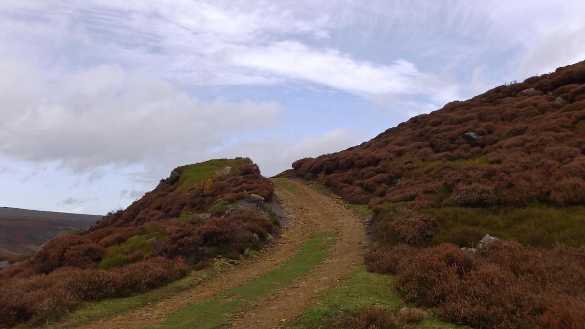
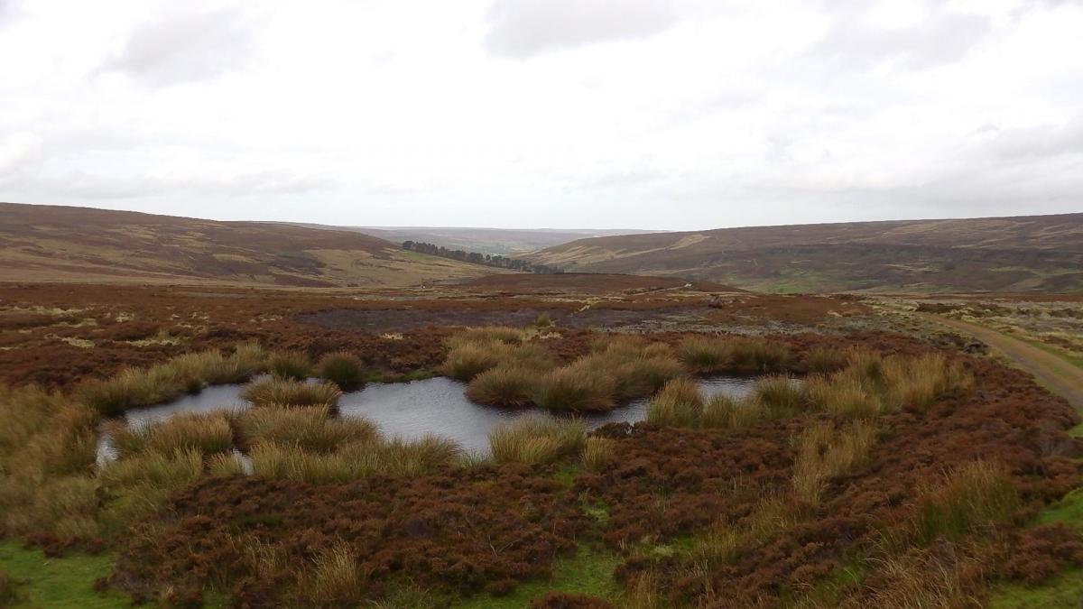
Instead, we turned off on to the optimisticaly named Jackson’s Road, thinking that this would be quiet because it is not a road. The track is quite defined in as much as it threads through hundreds of 18th or 19th-century coal pits, but it is rather rough in lengths and in some places colonised by vivid mats of club moss that indicate regular flooding.
Navigable it was, quiet it was not. The shoot had rearranged, there were beaters to the left of us and beaters to the right of us, and we were in a sunken track. The head keeper looked ace in his deerstalker hat, flashing a white flag, a shotgun on his shoulder; spinning his vortex of springer spaniels, keeping the line of his men. We survived.
Directions
When in doubt look at the map. Check your position at each point. Keep straight on unless otherwise directed. (wm=waymark, fp=fingerpost).
1. From the parking area, right to main road (Castleton 4), verge, pass Ralph Cross. First road on left (Westerdale 2½).
2. First track on left and barrier gate. At parking area by beck near grouse butts (sign Little Ralphs), track swings right downhill then up and crest hill.
3. Track on right 20 yards after grouse butt 2 on way downhill, indistinct for a few yards, curve left and downhill to pass sunken butts to your right (sign Low Pie Thorn).
4. Left at junction to wide track in valley, not quite as on OS map, three gates and gateway.
5. Old fieldgate by stream (yellow paint circle on post), uphill, 100 yards, ignore track on right (wms) uphill, gate (wm).
6. Left to disused railway line track (fingerpost), 1¼ miles.
7. In railway cutting on bend, narrow track on left with a grassy bridge over the ditch. After 500 yards the track in the heather ends at a low pile of rocks, ignore faint path on left and pick up Jackson’s Road (path) about 20 yards away on your right.
8. Left to road, verge.
Fact File
Distance: Seven miles.
Car Parking: Free car park.
Right of Way: Public and Open Access.
Date walked: October 2014.
Tourist information: Pickering TIC 01751 473791.
Refreshments: Lion Inn at Blakey.
Map: OS Explorer OL26 North York Moors western area.
Terrain: Moor.
Difficulty: Moderate if fine.
Please observe the Country Code and park sensibly. While every effort is made to provide accurate information, walkers set out at their own risk.


Comments: Our rules
We want our comments to be a lively and valuable part of our community - a place where readers can debate and engage with the most important local issues. The ability to comment on our stories is a privilege, not a right, however, and that privilege may be withdrawn if it is abused or misused.
Please report any comments that break our rules.
Read the rules hereComments are closed on this article