


George Wilkinson climbs up the "Zimmer-free zone" of Kilnsey Crag at Yarnbury.
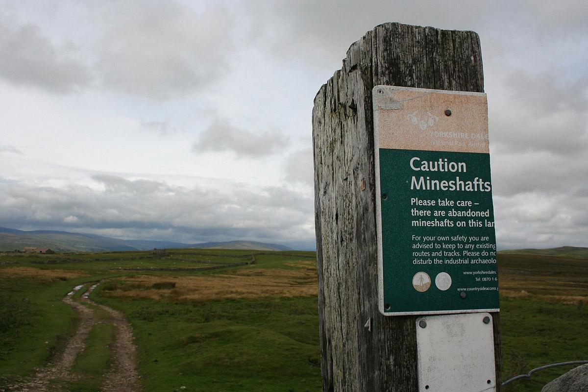
YARNBURY is at the end of a road, a mile up from Grassington, on the edge of the moor. The isolated cluster of rather grand houses was for the officers of the lead mines. Quite a lot of people come up here to look round the expanse of the mine remains, but we turned the other way for pristine Wharfedale countryside.
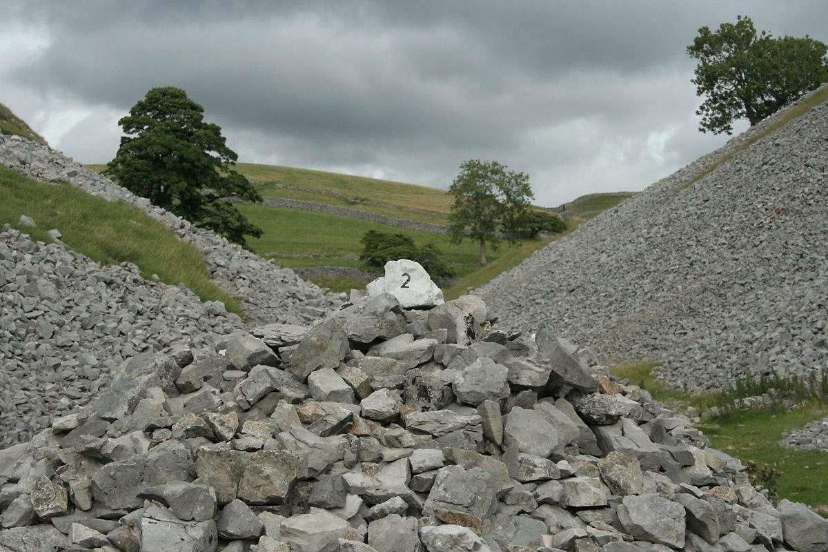
A two-tone track has walls of limestone one side and gritstone the other. A walker said one of his assortment of terriers had caught a mole. High Barn is a ruin and Bare House half so. There was a hint of purple heather, but this a grassland and limestone walk, bright and dramatic.
The path sweeps down to Old Pasture, and it steps down through a fine scar.
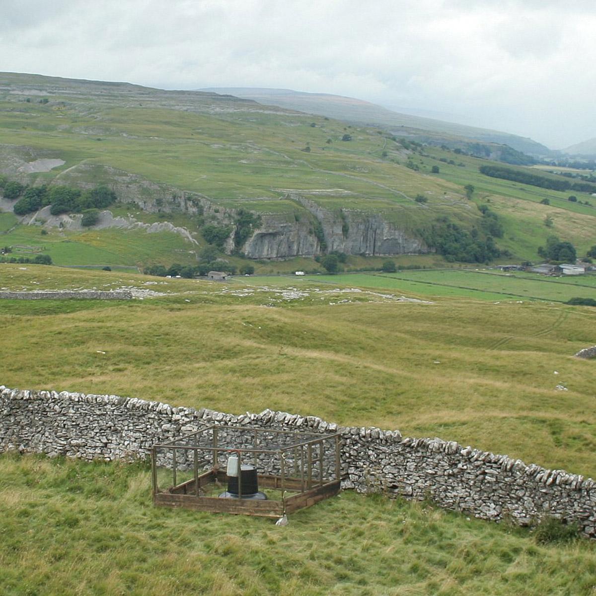
And here, at an altitude of 1,000 feet, in the national park, on a Site of Special Scientific Interest, were at least 150 French partridge in and around their cages or pens. The birds have sustenance delivered to them, and then they are delivered to the guns. This unnatural operation requires the consent of Natural England.
Kilnsey Crag is big in the background and the River Wharfe takes a turn through the flatness.
Conistone restored our cheer. "One of the loveliest sights in the valley,” wrote Marie Hartley and Ella Pontefract, again - “the grey walls of the dale the loveliest here”. That was 1938, but it could have been our day, when the “village seemed to sleep on the fells”.
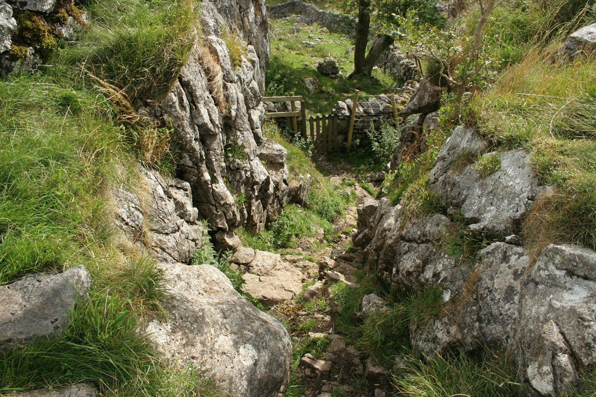
Any slumbering walker will be energised or whatever by the next mile up Conistone Dib. Hartley and Co found it “fiercer and more desolate than most dale gills”. CragFace, walks writer for GrassingtonWeb, describes it as a “Zimmer-free zone” with “arduous moments”, with the potential for “broken limbs/helicopter flight”.
On the other hand, Dennis and Jan Kelsall, writing for the prestigious Cicerone, suggest “a little easy clambering” and “a bit of a scramble for those with little legs”. My tip is to stash the trekking pole, the better for handholds.
Anyway, the Dib is a classic dry valley, cut by melt water at the end of the last ice age. It tightens to a deep, dark shoulder width gorge, and expands with gleaming scree slopes. The high mass of Bull Scar is well named and there were more caged partridges.
That survived, a good track, named Bycliffe Road, leads to the top spot. Time for the last of the sandwiches, then a leg stretch back across the grasslands.
Route
When in doubt look at the map. Check your position at each point. Keep straight on unless otherwise directed.
1. At Yarnbury, from metalled road end near house, track uphill, 150 yards, gate on left (FP Coniston 3), track, becomes walled, gate, track in field, 300 yards.
2. Fieldgate on left, track 100 yards, gate to right of ruin, immediately left on path to lowest corner of nearby larger ruin.
3. Sharp right to path, downhill, gateway by trees, left-hand bend, gate, gently downhill to far corner, passing below limekiln to your right.
4. Gated squeezer, diagonally 50 yards, gate, 10 yards, gate, 10 yards on grassy path, fork left, 100 yards, fork right. Cross wide grassy path (Dales Way), uphill via slightly eroded bank, crest bank, across grass, angle left on track down scar, across field.
5. New steel and steel mesh fieldgate, was padlocked and tricky to climb, track downhill. Right to good track ahead of wall/trees, gate, into Conistone, right to road through village, right at junction, 10 yards.
6. Track on right between greens and houses (no sign), 100 yards, fieldgate, (FP Conistone Dib), some scrambling, cairns, snickelgate.
7. Route option. EITHER continue in valley, snickelgate, more scrambling and short steep stepped climb requiring handholds OR right at path junction (three-way FP), gate, grassy path for 400 yards to wall then cut back to gate/footbridge at No. 8.
8. At top of valley, after little gate and scramble, snickelgate on right (waymark), immediately left, gate, footbridge, fieldgate, 20 yards, right to good track (four-way FP Sandy Gate), 400 yards, gate to walled track, sharp right (FP Middlesmoor), gate/ladderstile, keep to track.
9. As track starts to descend, path on right by ruined wall (small cairn), note first 200 yards not as OS map. Path forks right near end of pasture to wall gap, 1 o’clock, take care, wire may be on ground next to path. Cross pasture, ladderstile, cross field to shallow dip then 1 o’clock.
10. Gate to walled track, gate and right to track in field and rejoin outward route.
Fact file
Distance: Eight miles.
General location: Yorkshire Dales.
Road route: Turn up Grassington's Main Street, through square, straight on up narrow road, dead-end sign on way.
Start: Yarnbury.
Car parking: Roadside and track side at Yarnbury.
Right of way: Public and Open Access.
Dogs: Illegal.
Date walked: August 2013.
Lavatories: Grassington.
Refreshments: Inns and cafés at Grassington.
Tourist information: Grassington TIC 01756 751690. Map: OS Explorer OL2 Yorkshire Dales southern and western.
Terrain: valley side and tops.
Difficulty: Some scrambling.
• Please observe the Country Code and park sensibly. While every effort is made to provide accurate information, walkers set out at their own risk.


Comments: Our rules
We want our comments to be a lively and valuable part of our community - a place where readers can debate and engage with the most important local issues. The ability to comment on our stories is a privilege, not a right, however, and that privilege may be withdrawn if it is abused or misused.
Please report any comments that break our rules.
Read the rules here