


George Wilkinson Finds birds aplenty on Lofthouse Moor, along with far-reaching views and evocative ruins.
Lofthouse Moor is some distance from and no small height above any significant car park, so I looked at Google Maps and found some wide verge.
An array of signs indicated our right of way and off we marched, serenaded, or rather escorted, over Pott Moor by an array of birds, of which the most striking visually and the noisiest were the oystercatchers.
Sweeter in song were the curlews, shy to invisible the golden plovers and all, grouse included, nest on the ground, so if you have Rover, control him, lest there be havoc.
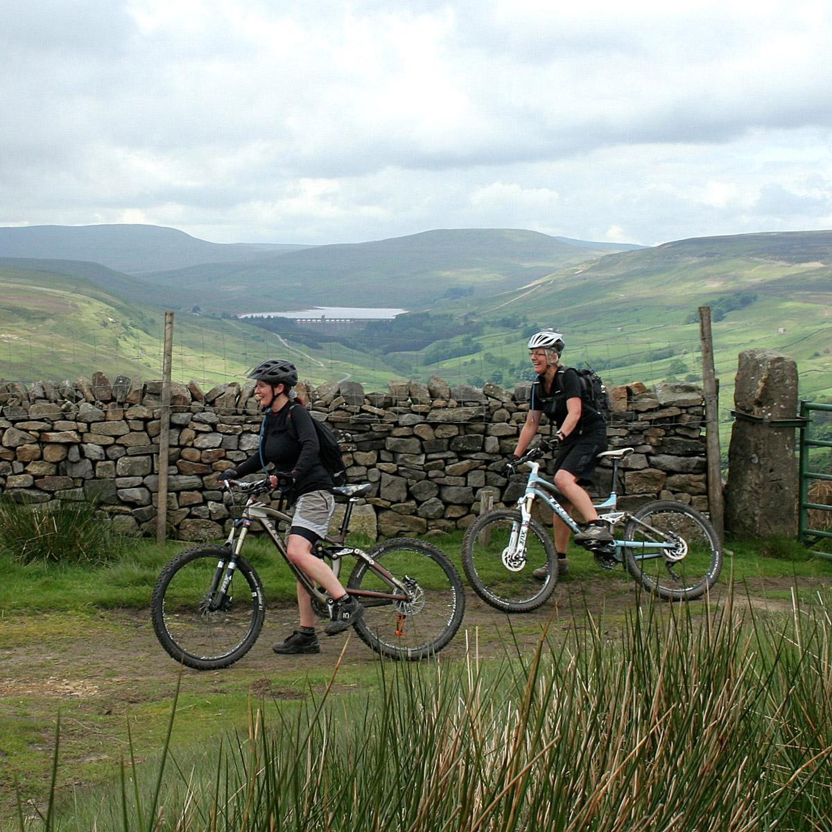
After a mile or so and views to Teesside, we crested the top and met two female mountain bikers out from York.
I raised the camera and one said: ‘‘Did you get my legs?’.
Such distraction because there, behind them, a couple of miles away, laid down in Nidderdale, was Scar House Dam, arches and all, looking fine.
Lofthouse Moor is a reservoir catchment, there are rain gauges and a mass of dark clouds rolled over Great Whernside on the midsummer Sunday and skylarks started up.
We spied the white balls of Menwith Hill monitoring station and we chatted to walkers, a dozen all day.
No-one had seen a bird of prey but, on the plus side, there were acres of white cotton grass, as good as I have seen and a plant of waterlogged bog.
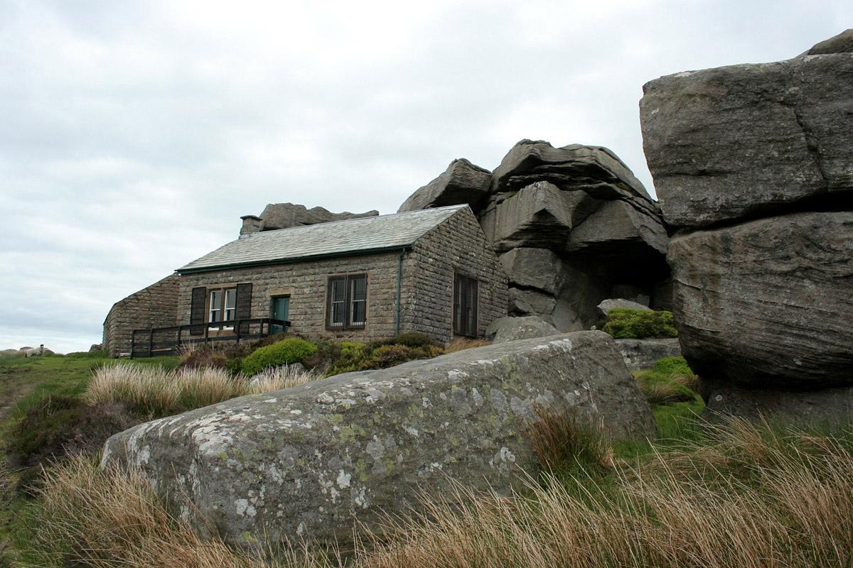
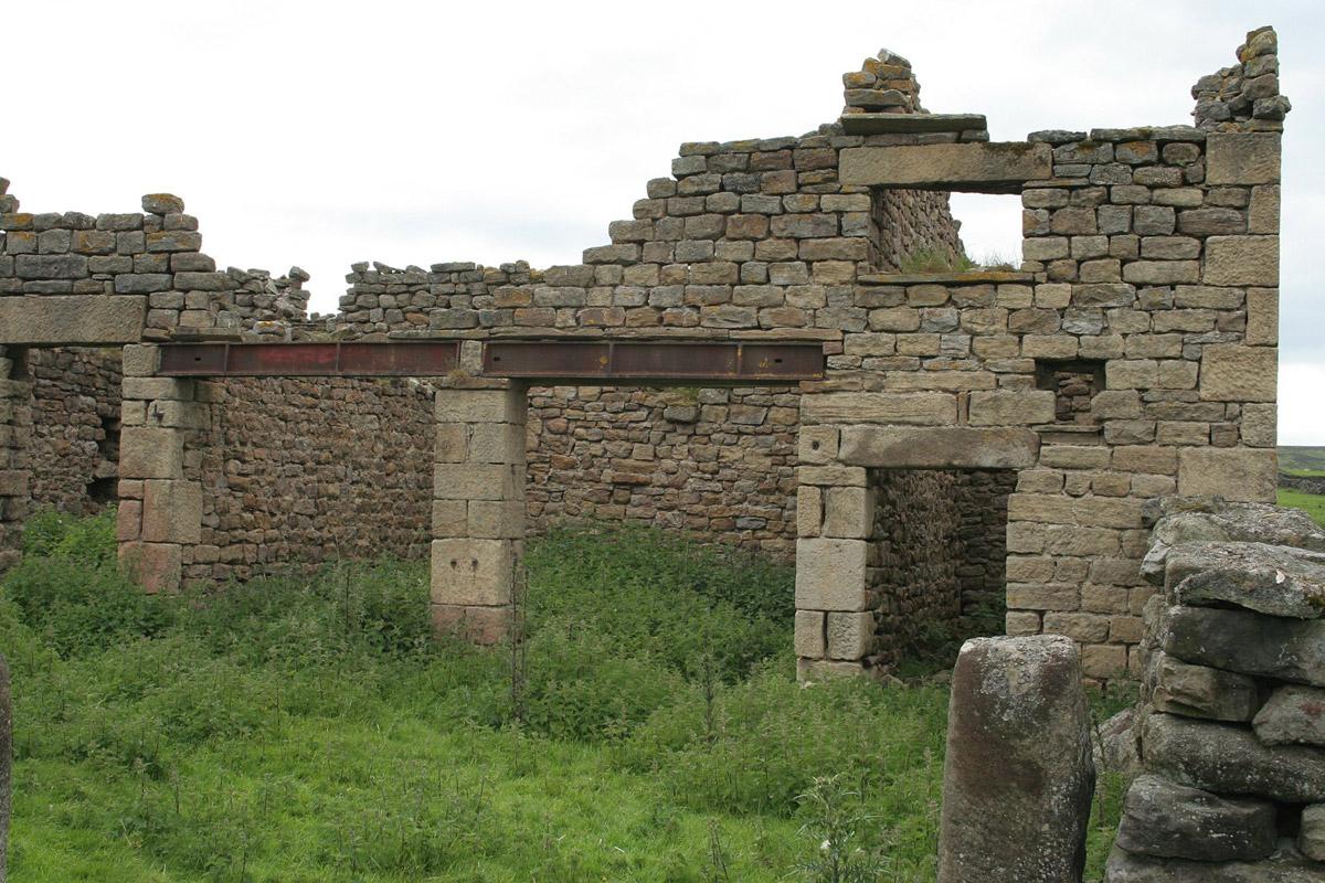
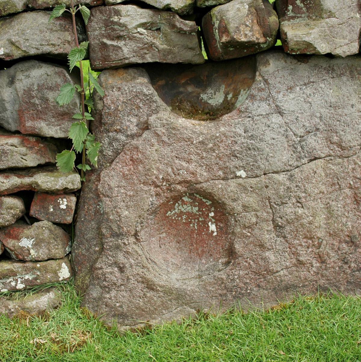
The shooting houses are distinctive. One has a castellated stone tower. The others are tucked under crags, some of Brimham quality, including the rock climbs Thunder Crack Direct, Right to Roam and The American Girl. Get here, where the good tracks stop, have a last sandwich by the shooting houses and enjoy the view of a lovely valley with, when you get down there, the most evocative ruins, a tuft of alder and streams.
Squadrons of geese came down on nearby Roundhill Reservoir.
We skirted its small silt trap dam and boggled at a tin sheet barn.
Driving back, we experienced an increasingly popular phenomenon, a rally of ancient tractors. I pulled off the road as far as I could and waited, thinking, as you would, about track rod failure, while ton after ton of metal gunned up Trapping Hill from Lofthouse.
Directions
When in doubt, look at the map. Check your position at each point. Keep straight on unless otherwise directed.
1 From parking areas on grass verge near a big farm with large barns and belt of trees, north-east on road.
2 Track on left (blue sign and fingerpost – Public Footpath, sign Swinton Estate, old stone post), uphill, pick up wall to your left. Ignore a track on right where wall ends, one mile. Fieldgate, grass track by wall to your right.
3 At T-junction, left to track along side of valley. Pass shooting house, track curves left uphill by wall.
4 Field gate and left to road, 100 yards, walled track on right (various signs, some homemade – ‘‘no dogs’’ is incorrect), uphill, field gate, track by wall to your right.
5 At major tracks Y-junction, fork left uphill, metal field gate, pass small building in field to right, 100 yards, ignore track on left. Crest hill and straight on (6 Dales Trail fingerpost).
6 Track on left (6 Dales Trail fingerpost), barrier gate, to Combs Crag.
7 From point near and between the two shooting houses, a faint track leads diagonally downhill, soon becomes narrow path in heather. Head for right-hand of the two ruined farmsteads in valley. After a few hundred yards, path turns left down shallow gully (white-painted garden cane), 100 yards, at boulder in clearing, right to grass path through bilberries.
8 Rickety homemade stile in fence (6 Dales Trail sign). Field gate at wall corner into field (waymark), 25 yards, left to track, 100 yards, gateway, 10 o’clock to stile into front garden of ruin, pass house, right downhill between outbuildings, 200 yards diagonally across field to wall stile (waymark), path via wall corner. Left to path with wall and small reservoir to your right.
9 In wood, track bridges stream, bypass very rickety field gate (waymark), 10 yards, right at T-junction and track bridges stream, straight uphill, field gate in corner to track through field, field gate, field gate to left of house and barns, uphill by wall, squeezer to road (fingerpost – public footpath).
Fact file
Distance: Eight miles
General location: Yorkshire Dales
Start: See map
Right of Way: Public
Dogs: Legal
Date walked: June 2013
Car Parking: Roadside verge near farm
Lavatories: Lofthouse
Refreshments: The Crown Hotel at Lofthouse
Tourist information: Pateley Bridge TIC 01423 711147
Map: OS Explorer 298 Nidderdale
Terrain: Mostly moor
Difficulty: Good going
Please observe the Country Code and park sensibly. While every effort is made to provide accurate information, walkers set out at their own risk.


Comments: Our rules
We want our comments to be a lively and valuable part of our community - a place where readers can debate and engage with the most important local issues. The ability to comment on our stories is a privilege, not a right, however, and that privilege may be withdrawn if it is abused or misused.
Please report any comments that break our rules.
Read the rules hereComments are closed on this article