
A feature in The Press on August 29 about the so-called Baedeker raid on York has prompted some discussion in the pages of this newspaper.
Reader Mike Usherwood, who is something of an aviation expert, wrote to the newspaper’s letters page to cast doubt on the claim that the German air force used the 1937 Baedeker guide to plan the raid.
He wrote: “While it makes a nice story I am afraid the Luftwaffe did not need the assistance of the Baedeker Guide when they bombed York, or any other place in this country for that matter. They had excellent one-inch-to-the mile maps provided by us.
His suggestion seemed to be (and forgive us if we've misinterpreted your letter, Mr Usherwood) that the Germans used maps produced by the Ordnance Survey (OS) following their ‘Retriangulation’ of Great Britain, which took place between 1935 and 1962.
The Ordnance Survey operation to remap Britain, which was directed by the cartographer and mathematician Martin Hotine, involved setting up a network of new trig points across the country, and using these as the basis of a new and more accurate measurement.
Mr Usherwood seemed to suggest it was these maps that were used by the Nazis when they planned their Baedeker raids.
Fellow reader Martin Dawson has his doubts, however. Mr Dawson, who gives talks on astronomy and aviation, said it is debatable whether the Luftwaffe used OS maps.
The war was over in 1945, while the Retriangulation of Great Britain was still taking place, he points out. He said: “By 1939, when the war started, OS would not have had that many maps out. The Germans, anyway, flew hundreds of reconnaissance missions of their own over the UK, often involving a high-flying variation of the Junkers 88 which took photographs from high altitude, to gather data.”
So he thinks it unlikely the Germans would have relied upon the OS for their maps. They were perfectly capable of producing their own.
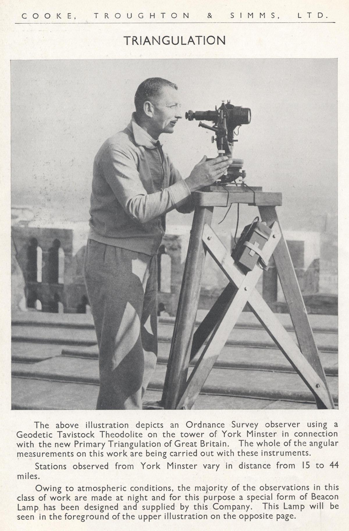
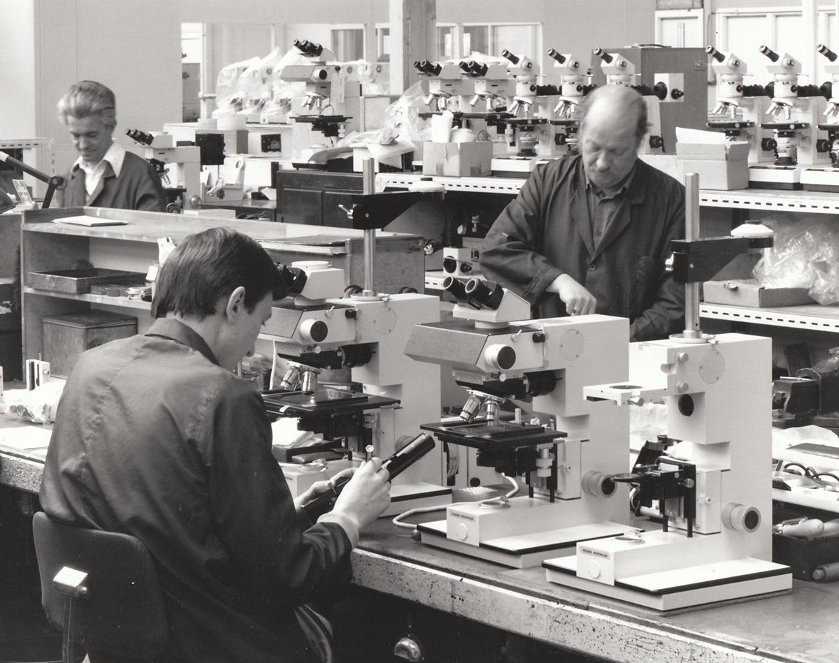
What does seem certain is that many of the instruments used by the British cartographers and others working on the British mapping project – instruments that were carried up and down hills and to triangulation points across the country – were made right here in York.
Mr Dawson said: “The instruments used were made in York at Cooke, Troughton and Simms.”
The company was founded by the scientific instrument maker Thomas Cooke in York in 1837, and moved to a new factory in Haxby Road in 1938. But many of the instruments used during the early years of the Retriangulation would have been made at the company’s earlier factory in Bishophill, Mr Dawson believes.
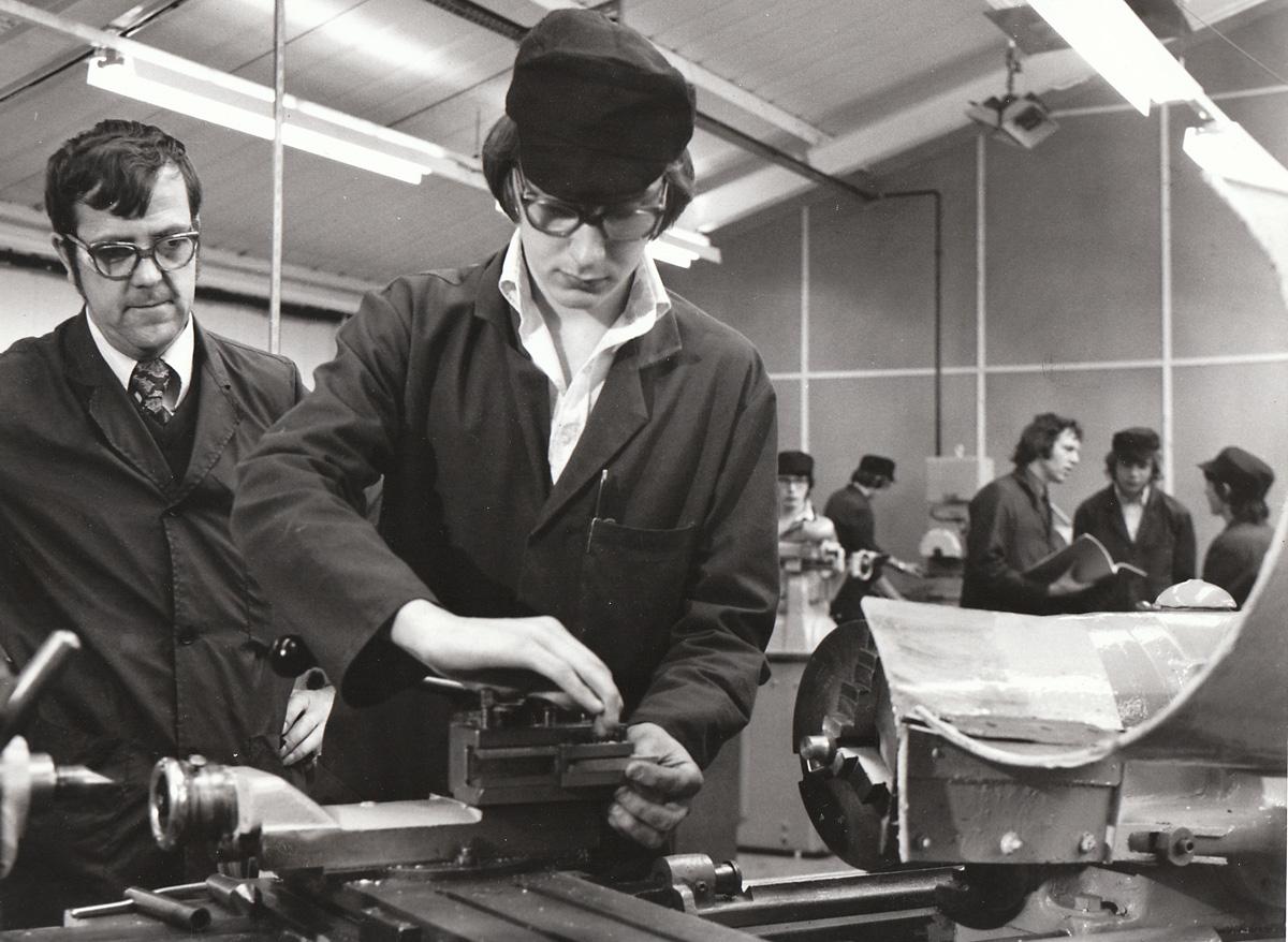
“I used to work for Cooksies when it was known as Vickers Instruments in the 1970s (and later still when it was Bio-Rad Micromeasurements),” he writes. “I have in my possession a set of books and catalogues and some detail part of the survey’s history.”
We have Mr Dawson to thank for the wonderful photograph of an Ordnance Survey observer using a theodolite on the tower of York Minster which we carry today. It comes from a Cooke, Troughton and Simms brochure.
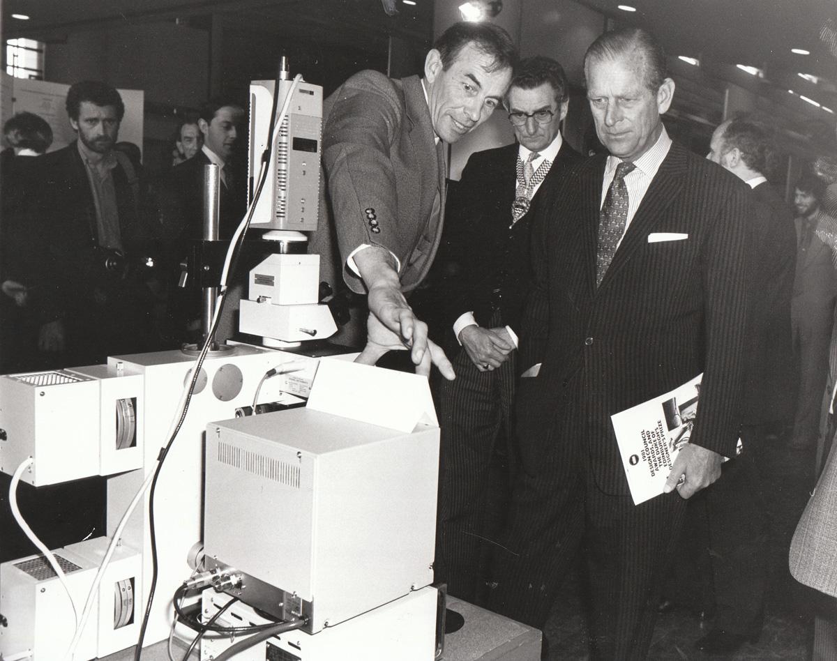
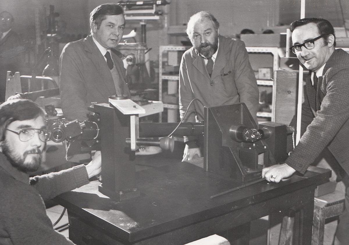
The company had been under the control of Vickers since 1915, and by the 1970s, as Mr Dawson says, it was known as Vickers Instruments. Our photographs from that period all come from our own archives.
Vickers subsequently became Bio-Rad, and its factory in Haxby Road was eventually demolished in 2008.
• Did you work at Vickers? If so, we would like to hear your memories. Phone Stephen Lewis on 01904 567263 or email stephen.lewis@thepress.co.uk


Comments: Our rules
We want our comments to be a lively and valuable part of our community - a place where readers can debate and engage with the most important local issues. The ability to comment on our stories is a privilege, not a right, however, and that privilege may be withdrawn if it is abused or misused.
Please report any comments that break our rules.
Read the rules here